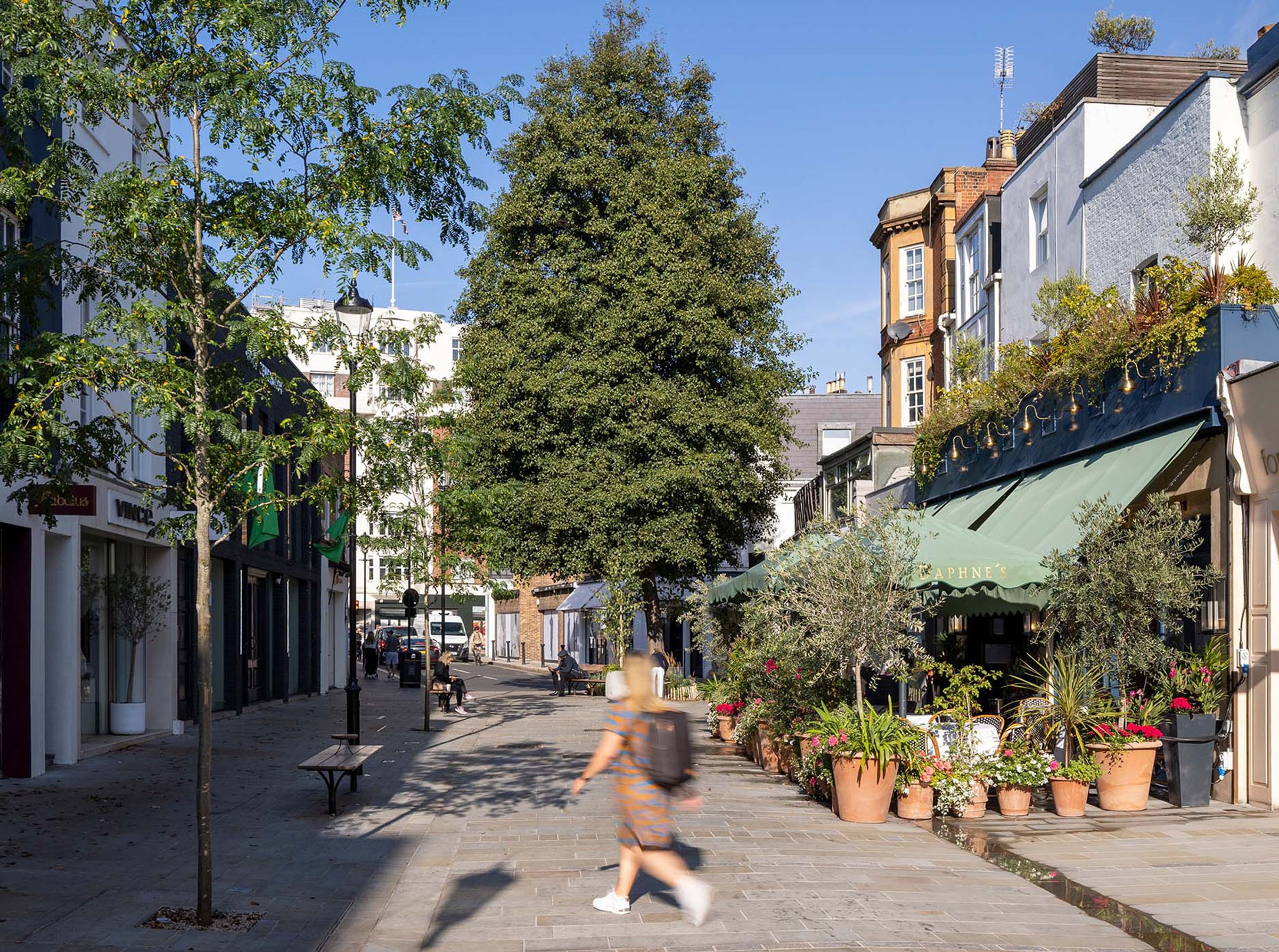
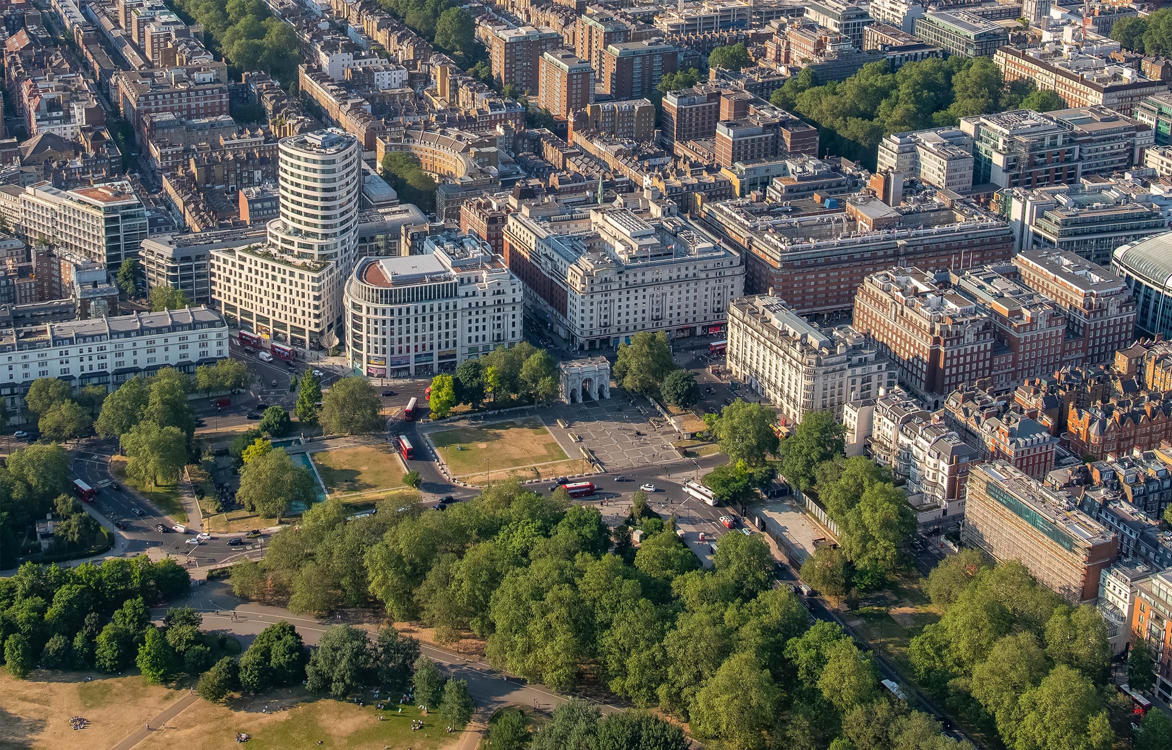
Marylebone Lane lies within the Harley Street conservation area in the southwestern corner of the Howard de Walden Estate. In contrast to the grid of grand streets that surround it, Marylebone Lane is older, narrower and follows the course of the Tyburn River, a tributary of the River Thames, which is now buried underground.
Redesigning Marylebone Lane
Delivering context-led urban design for a historic West End lane
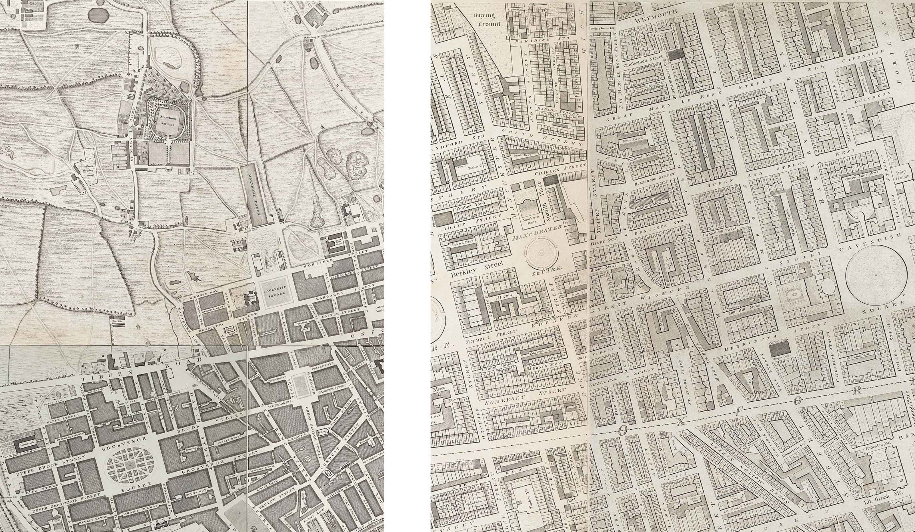
The lane reflects the route of the River Tyburn
Left: Roque Map 1746, Right: Horword 1792
The Howard de Walden Estate commissioned Publica to develop a transformative vision and concept design for Marylebone Lane to establish a stronger walking connection between Oxford Street and Marylebone High Street as well as to elevate the street’s quality and function.
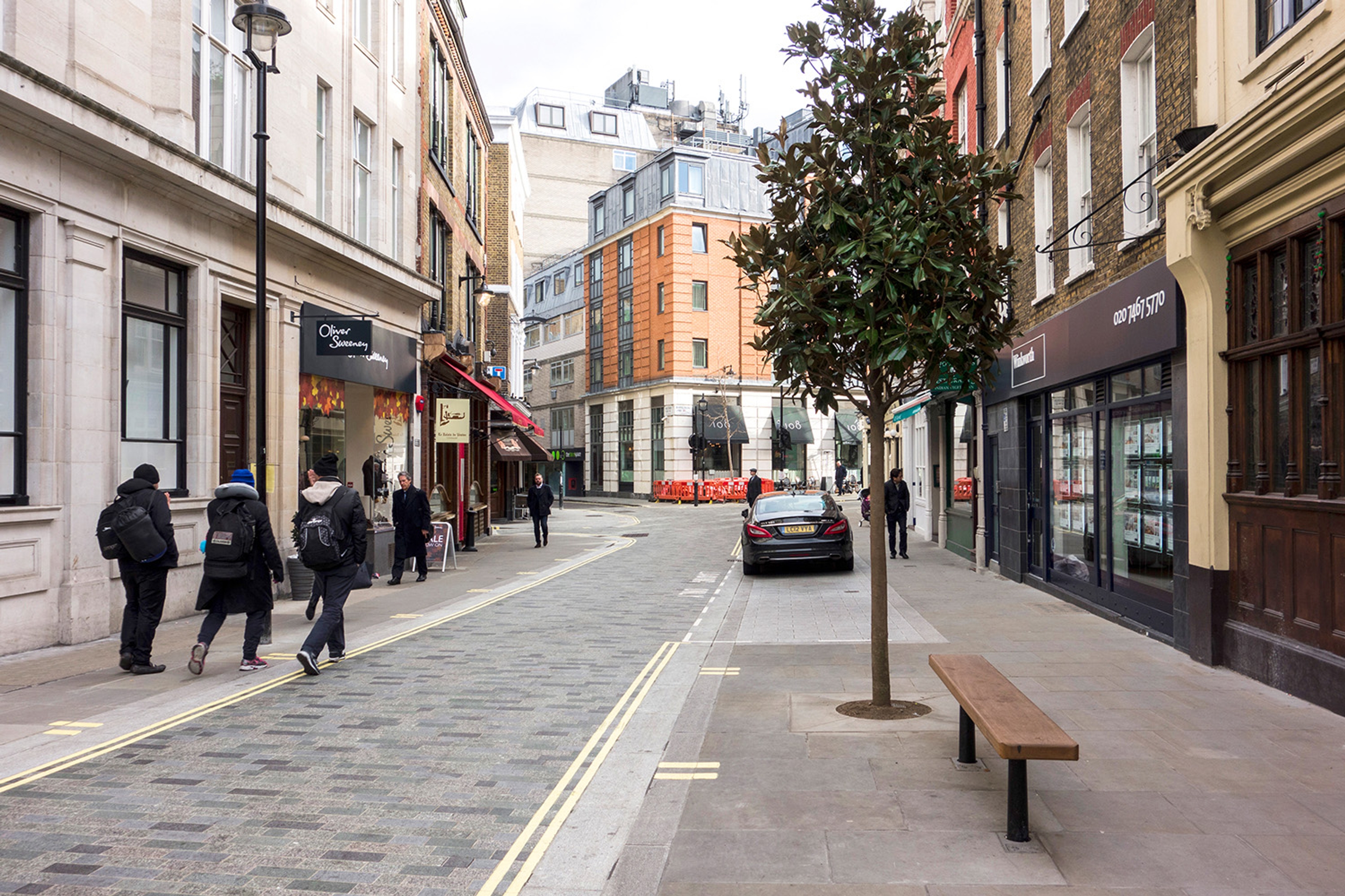
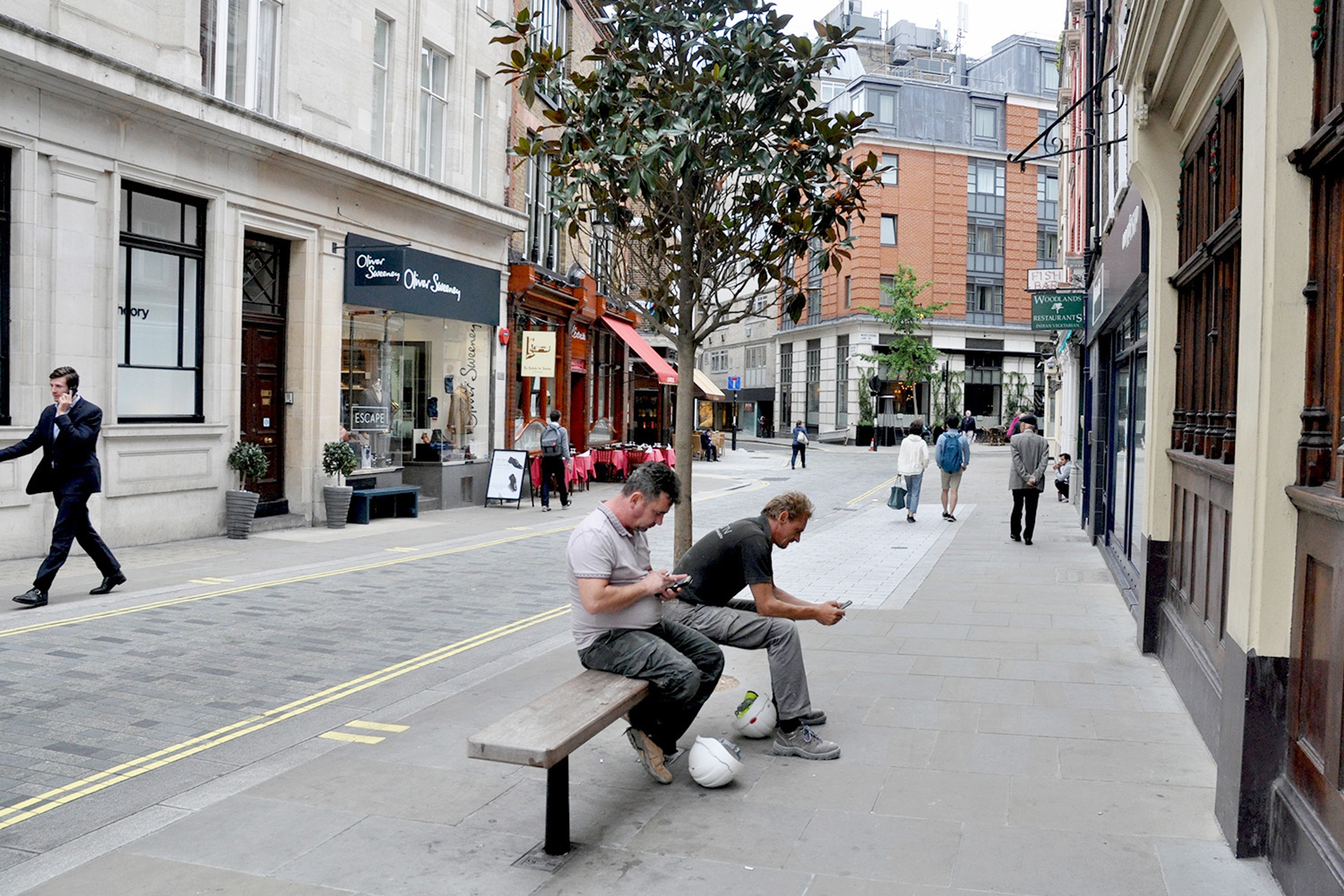
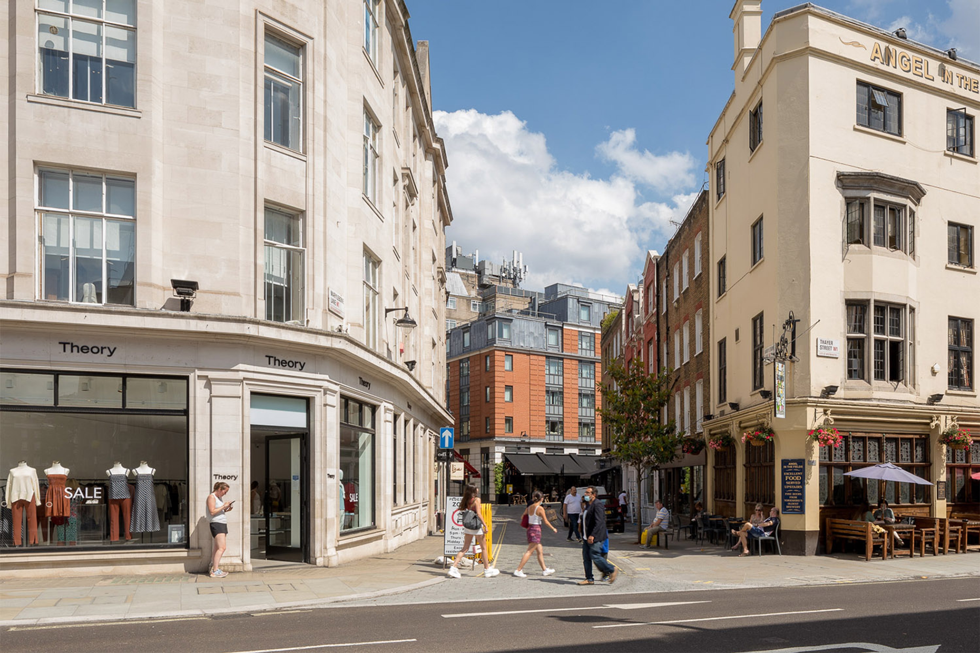
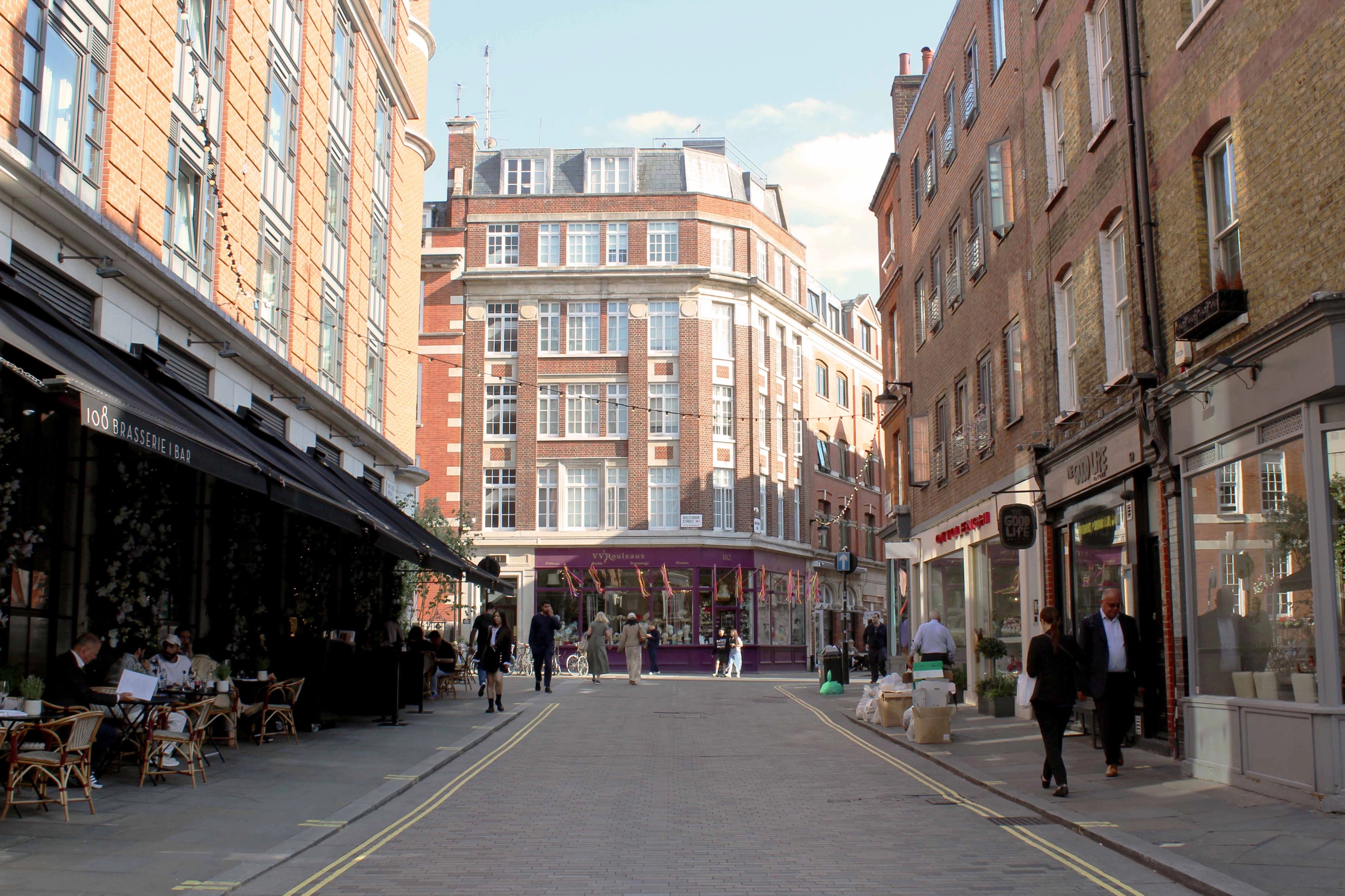
By carefully studying the local conditions, and analysing changes underway across the wider neighbourhood, Publica developed a strategy and design approach for Marylebone Lane, working within established Westminster public realm principles. This included relocating parking, creating new areas of footway, new lighting, benches and tree planting, and incremental improvements to retail awnings, shopfronts and use of the street.
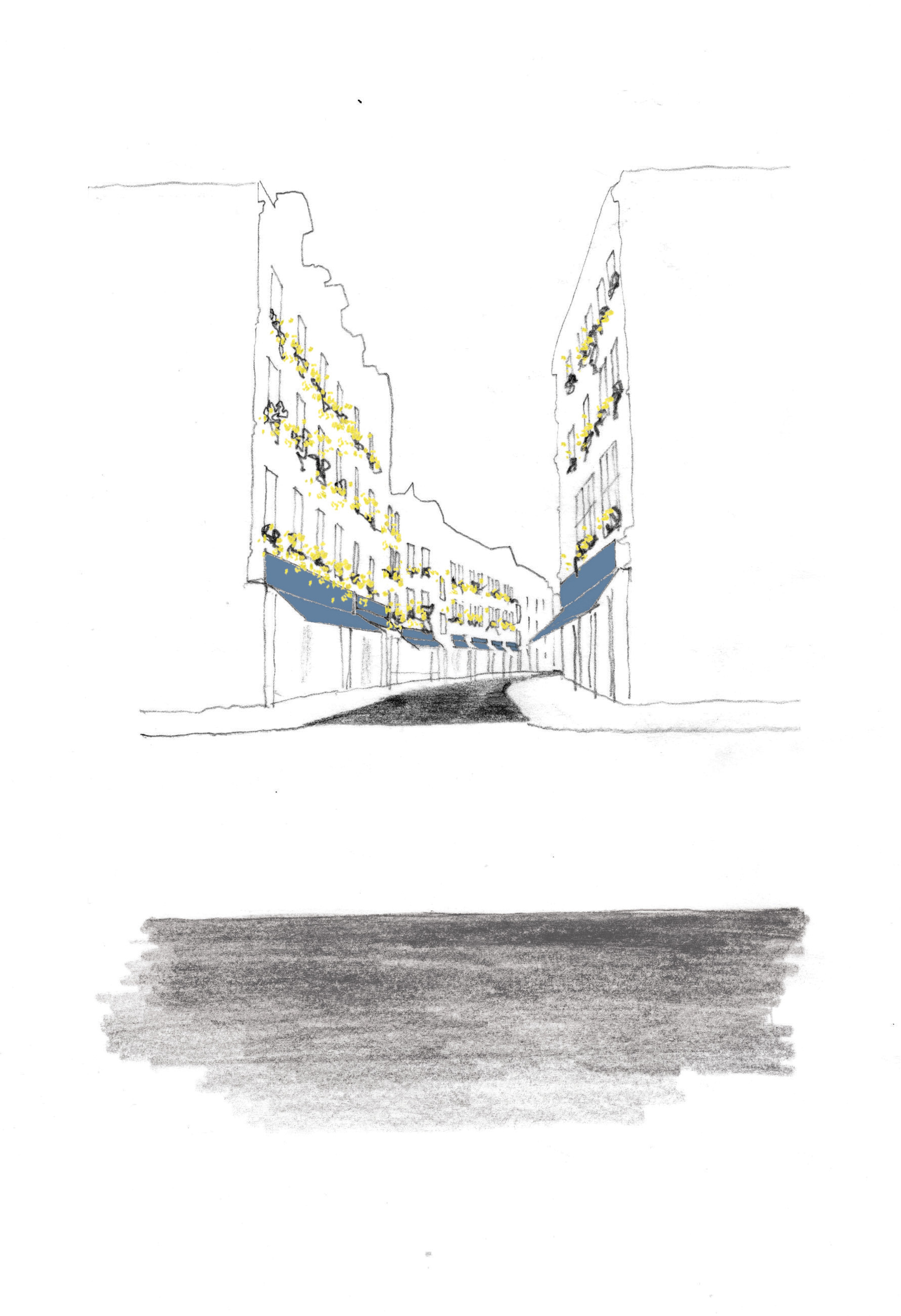
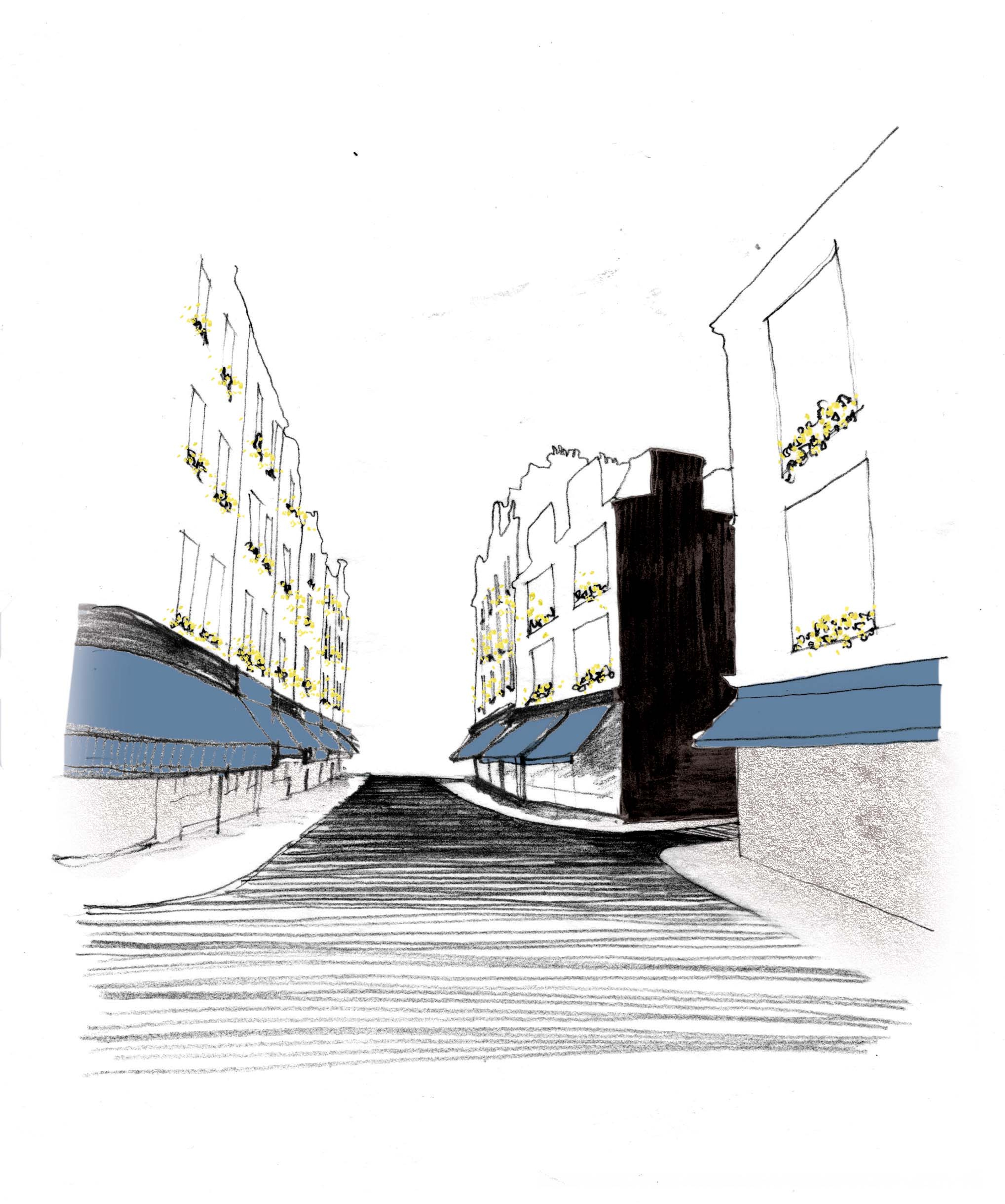
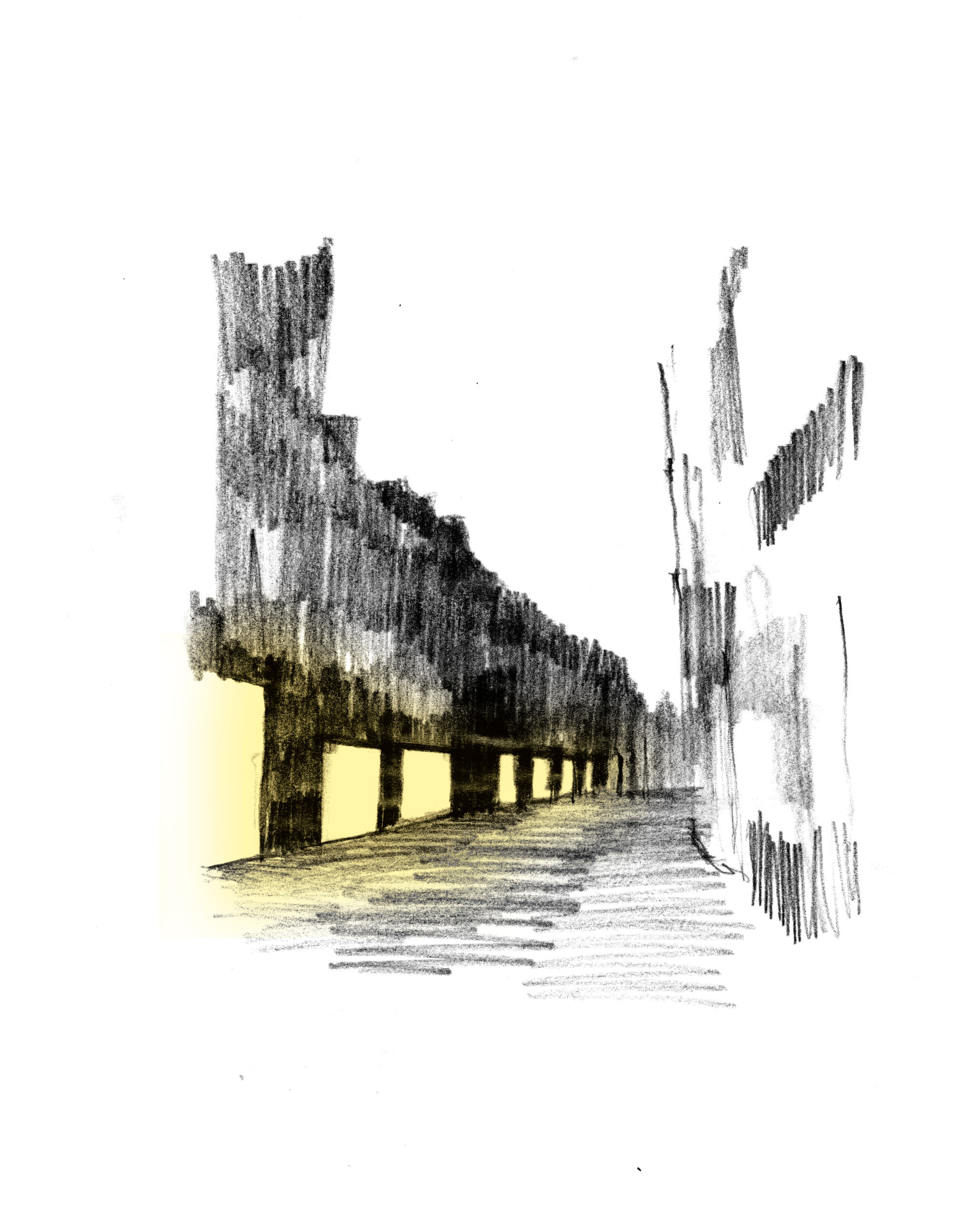
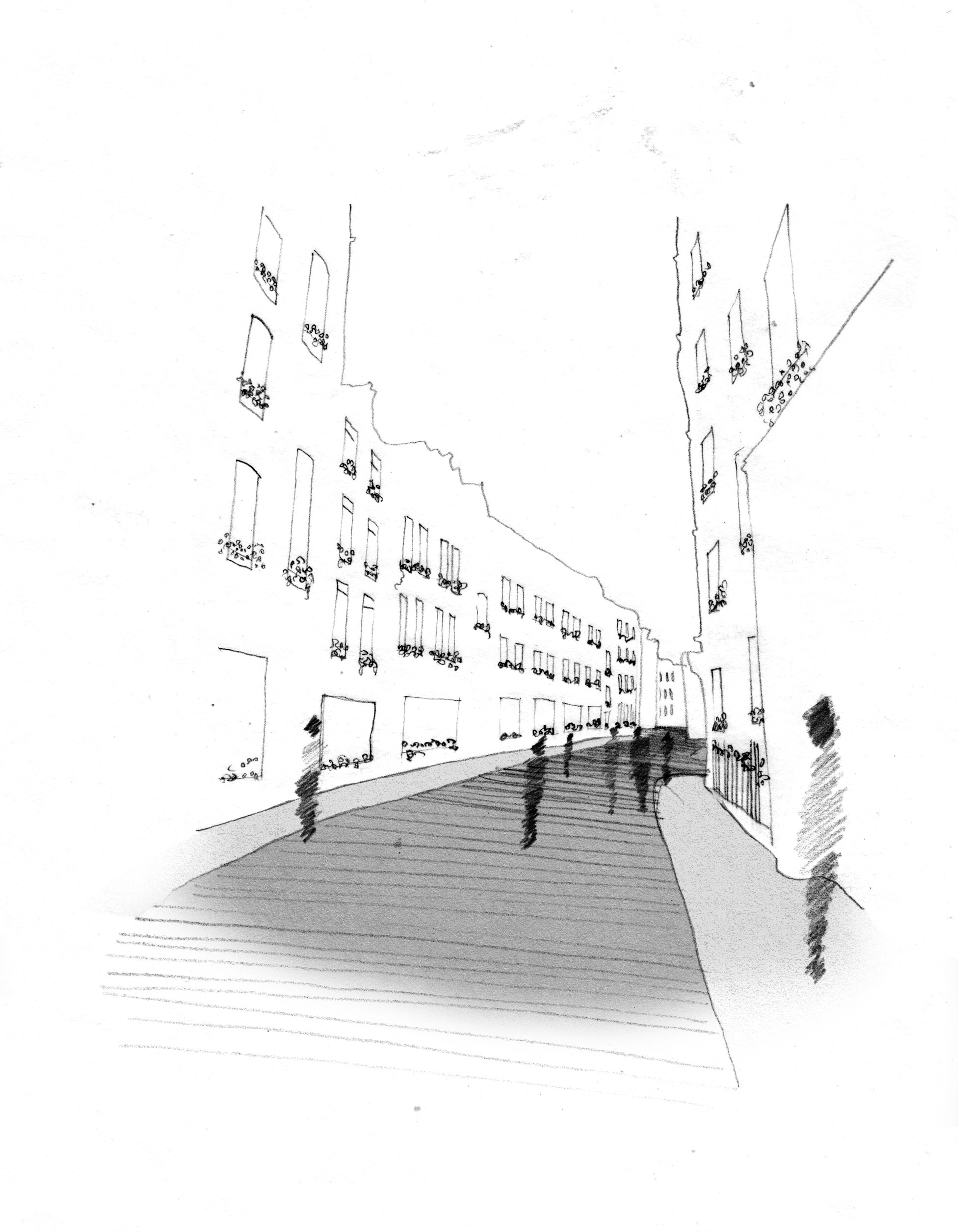
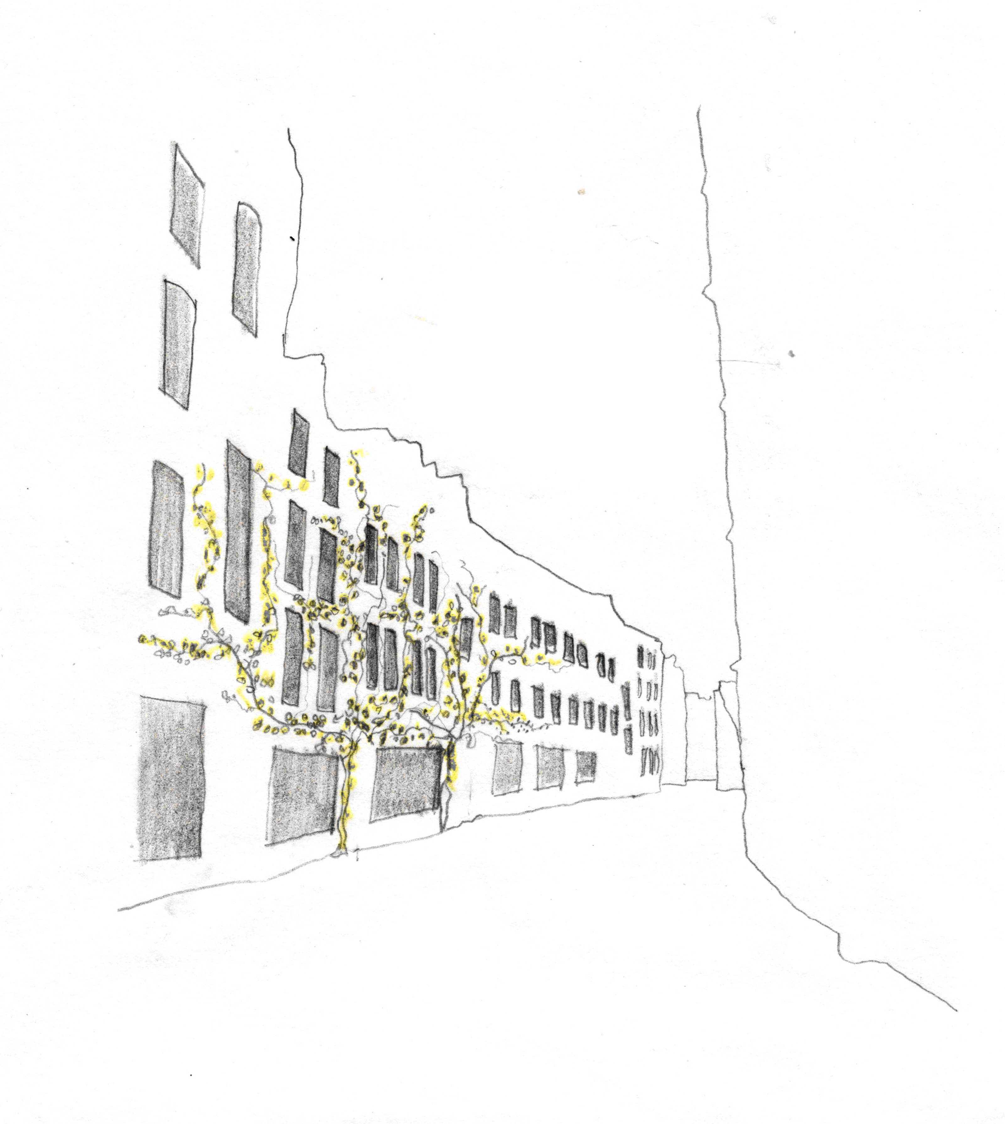
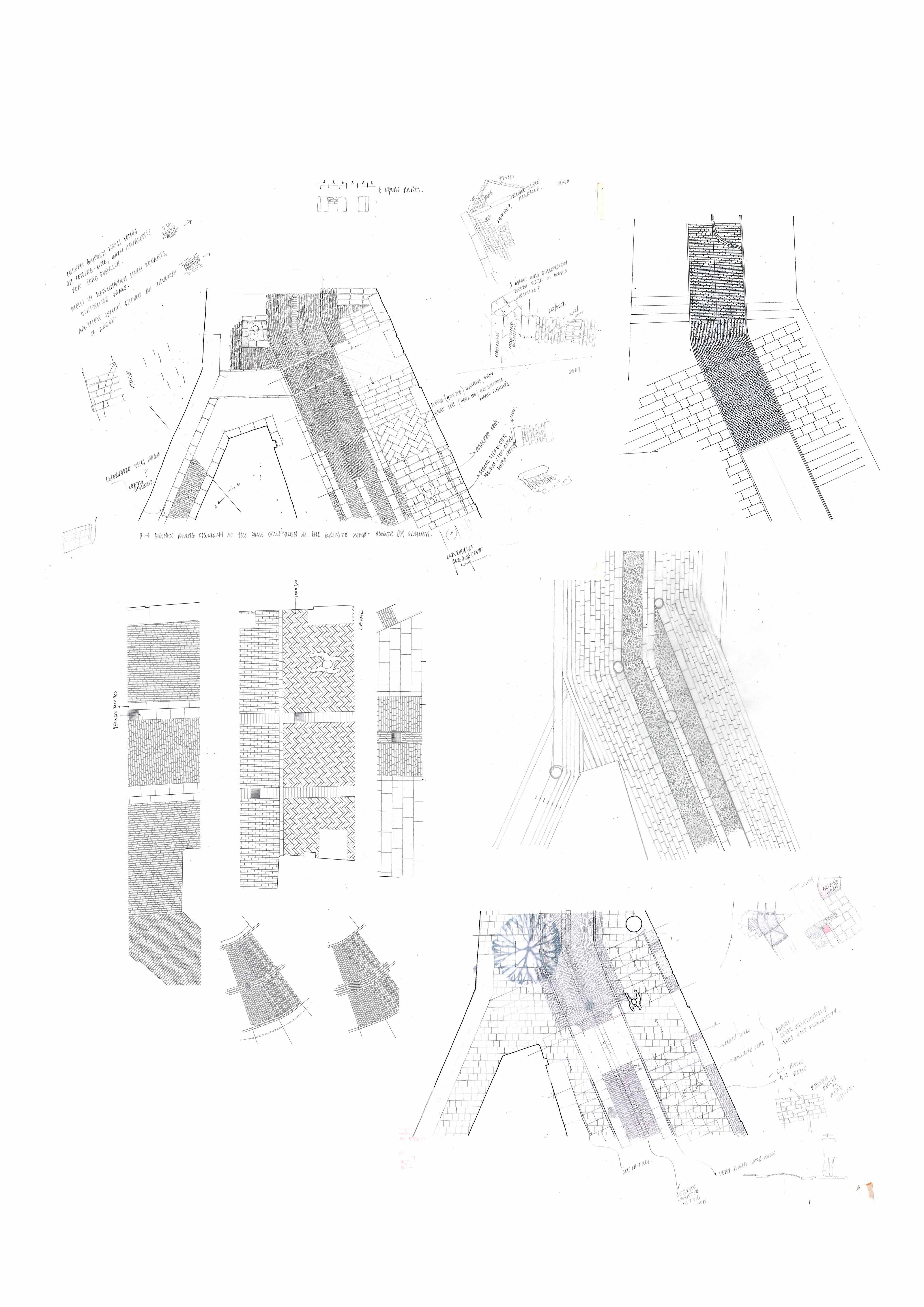
Publica’s design enhances the materiality of the street by embracing the historic prominence of the Tyburn River. This approach was carried through design proposals by narrowing the carriageway to evoke a river course, the use of a double granite kerb and edge details, natural stone footway paving and the selection of subtly coloured granite setts to evoke water.
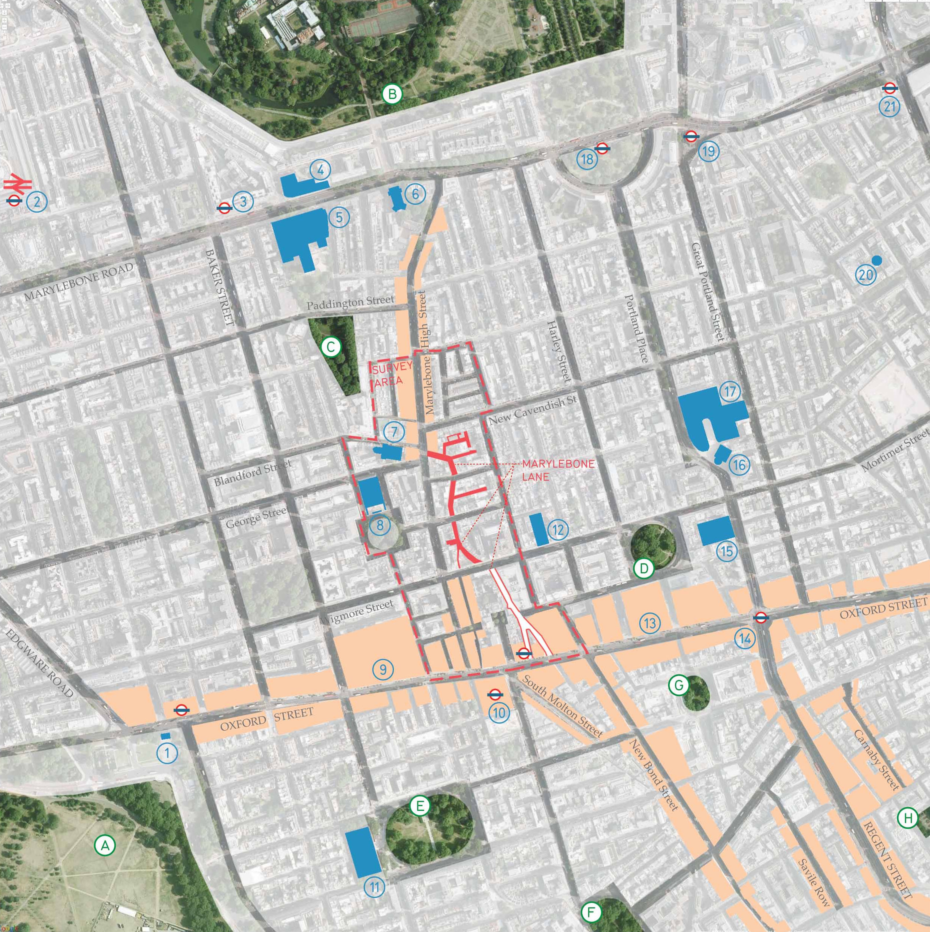
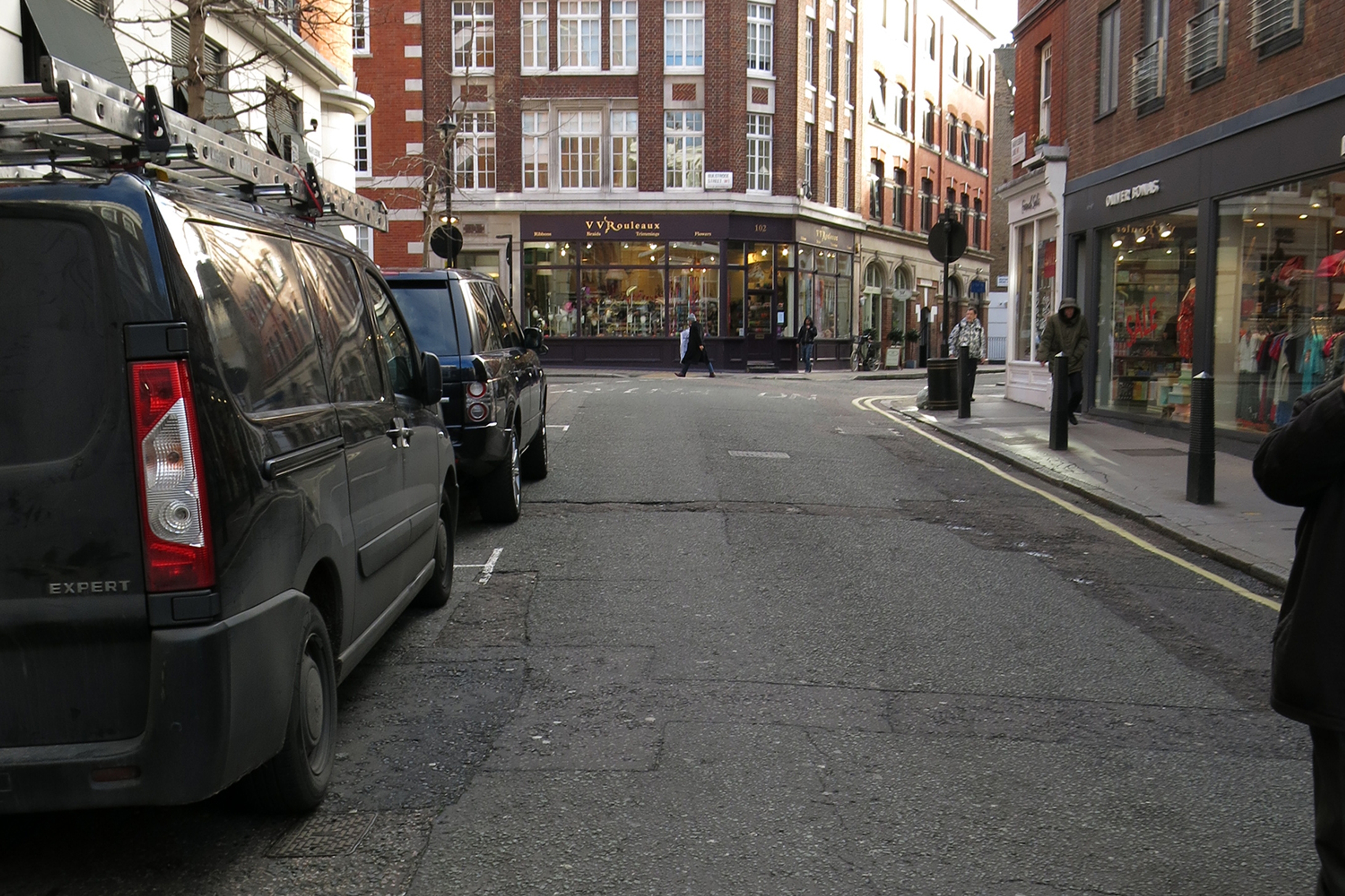
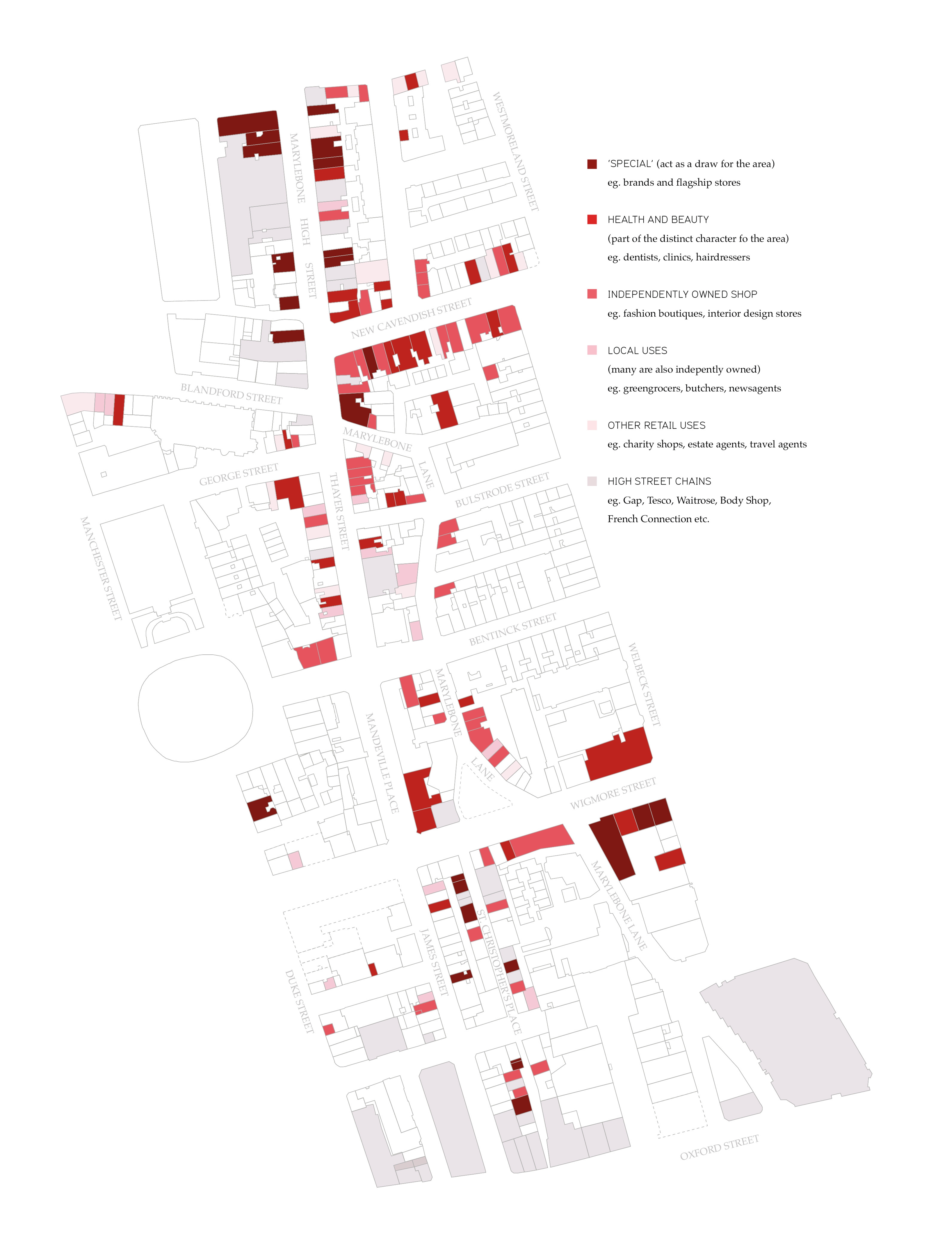
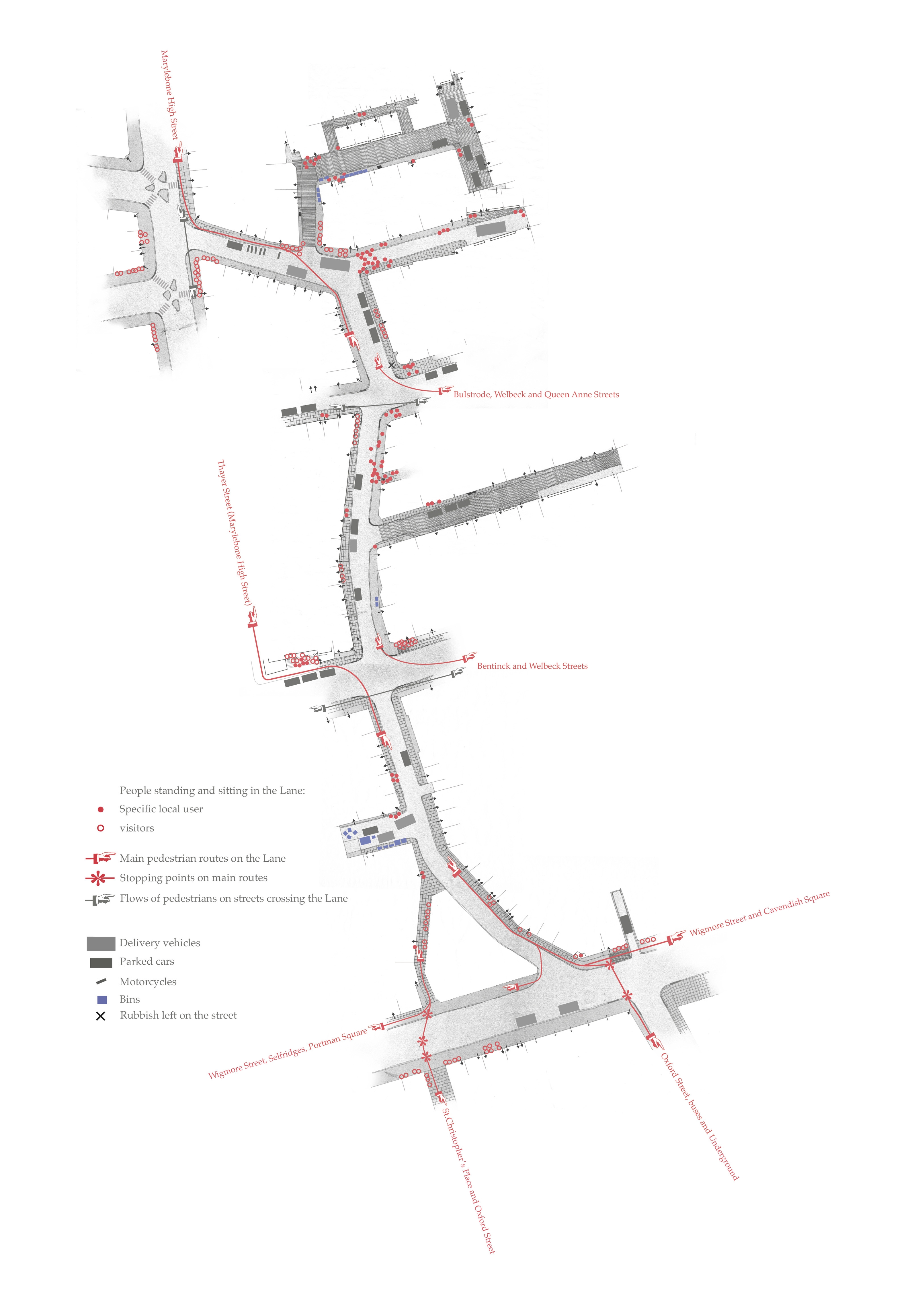
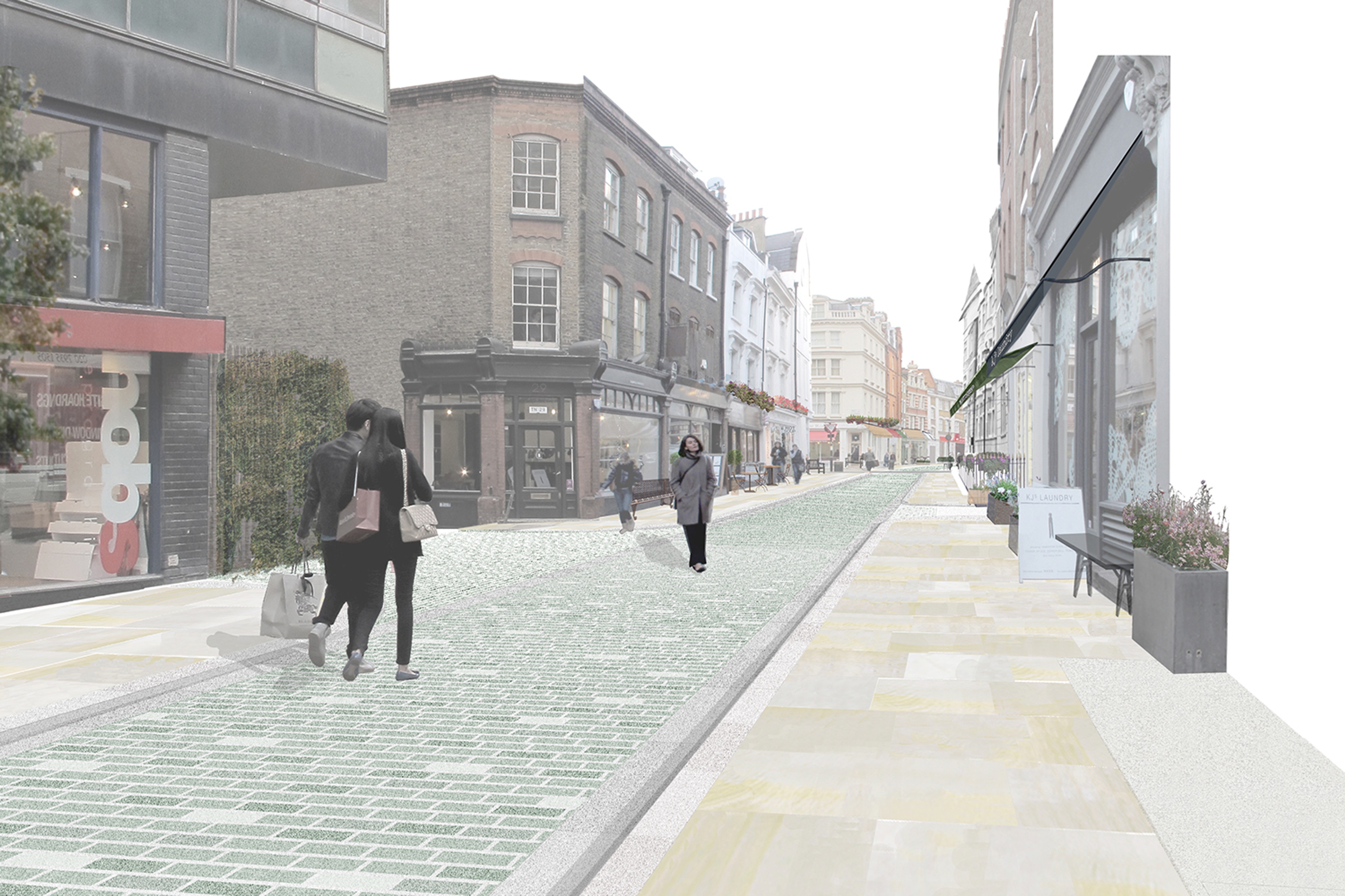
The winding path of Marylebone Lane connects Oxford Street and Marylebone High Street
In March 2013, an exhibition of the proposed designs received a 95% approval rating from local residents and businesses. Soon after, the plans were formally adopted by Westminster City Council and Publica was retained by the Howard de Walden Estate to help guide delivery stages. Work began on site in February 2015 and, after a pause to allow a building development, the scheme completed in summer 2018.
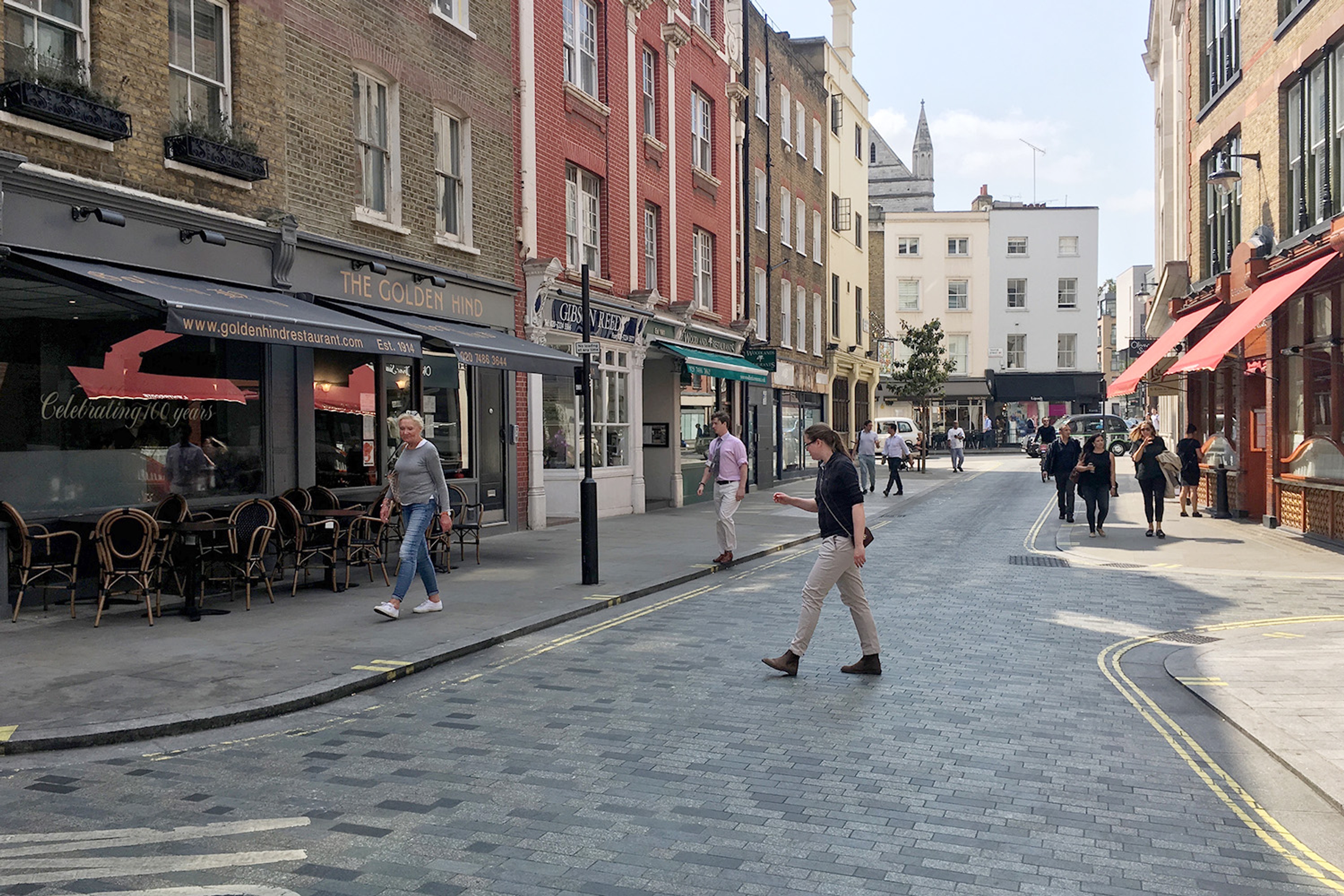
Third photograph by Edward Bishop