Reimagining the Northbank District

A vision, strategy and framework for major urban change in the West End

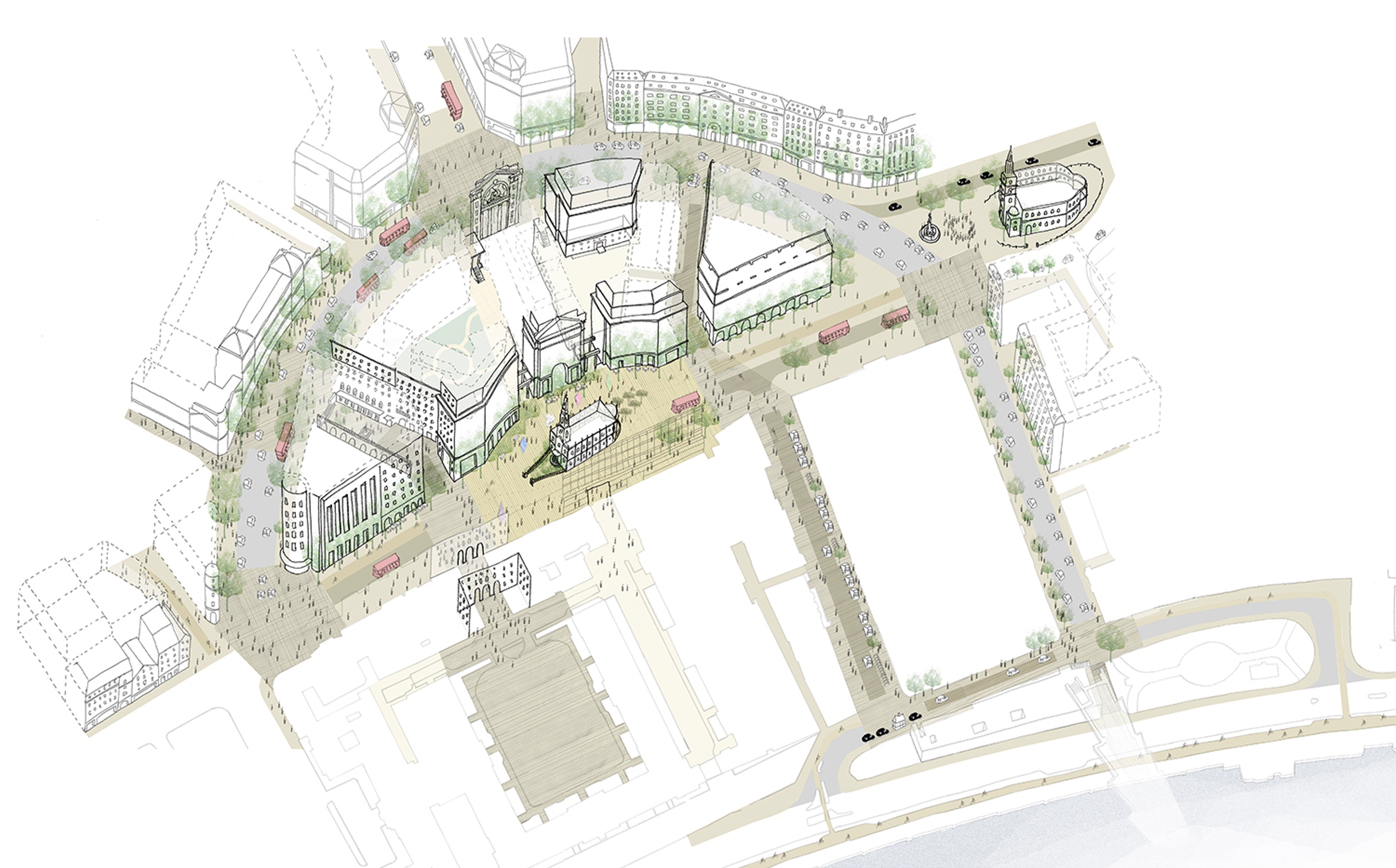
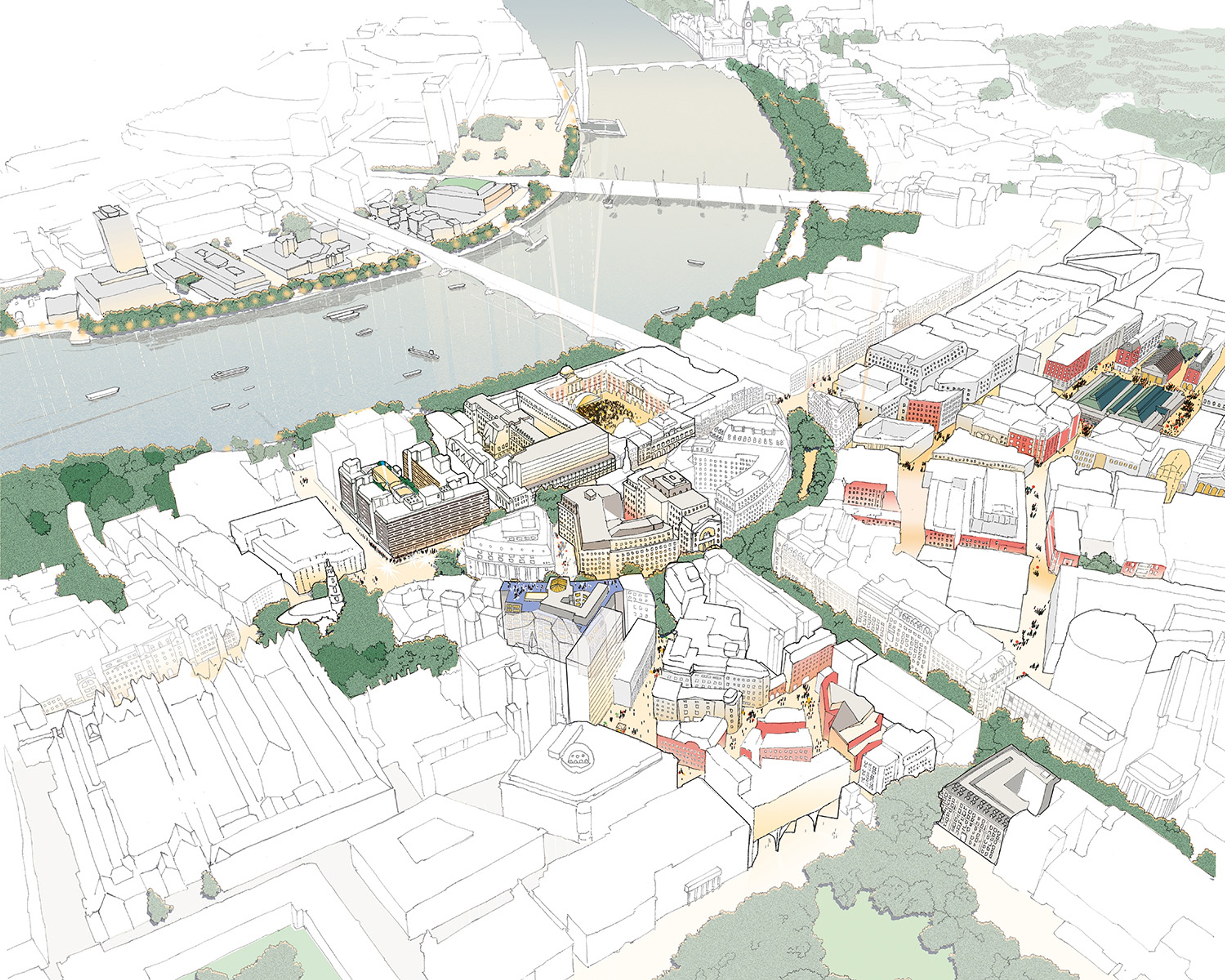
An aerial diagramatic drawing of Strand-Aldwych looking towards the Thames.

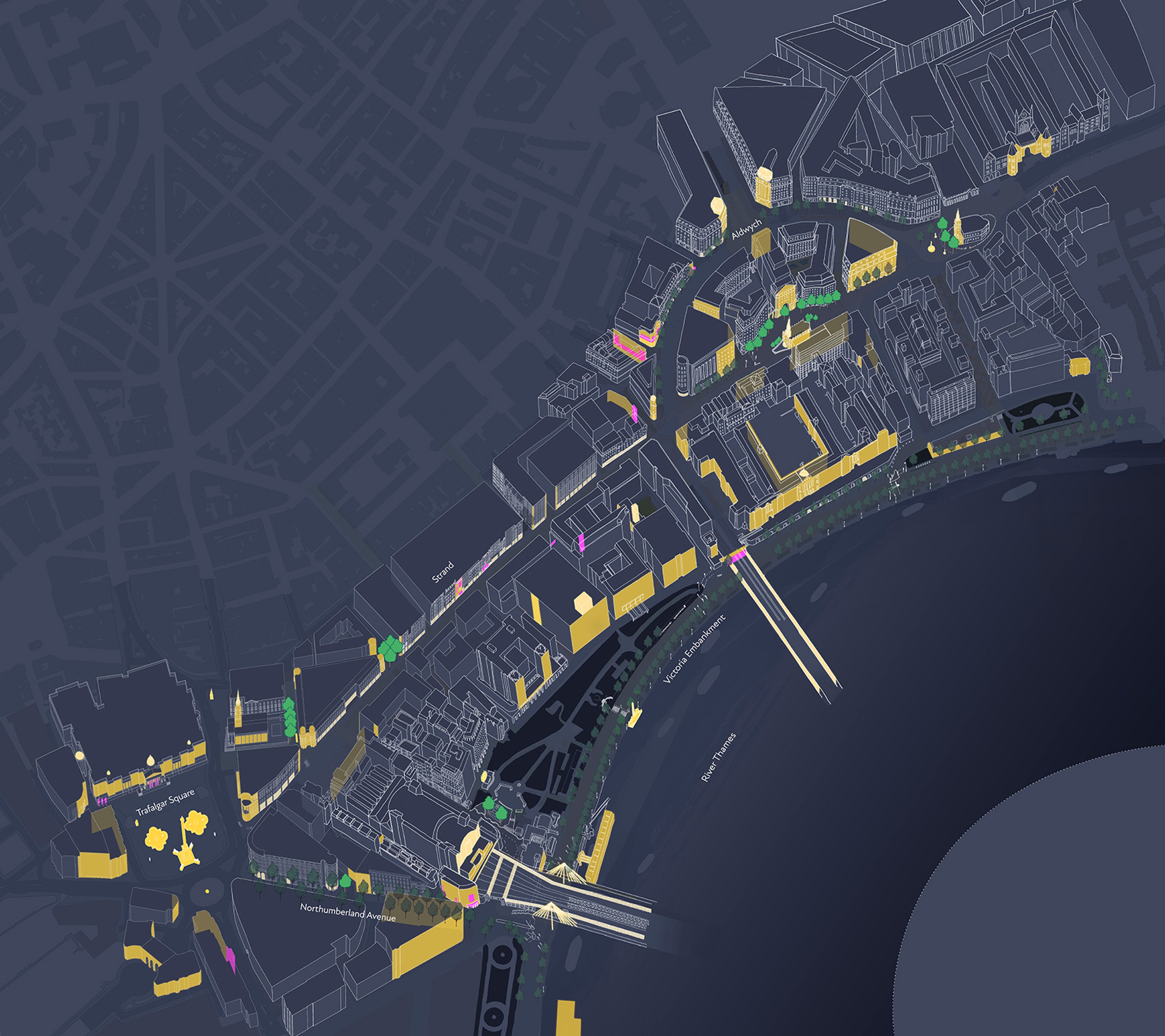
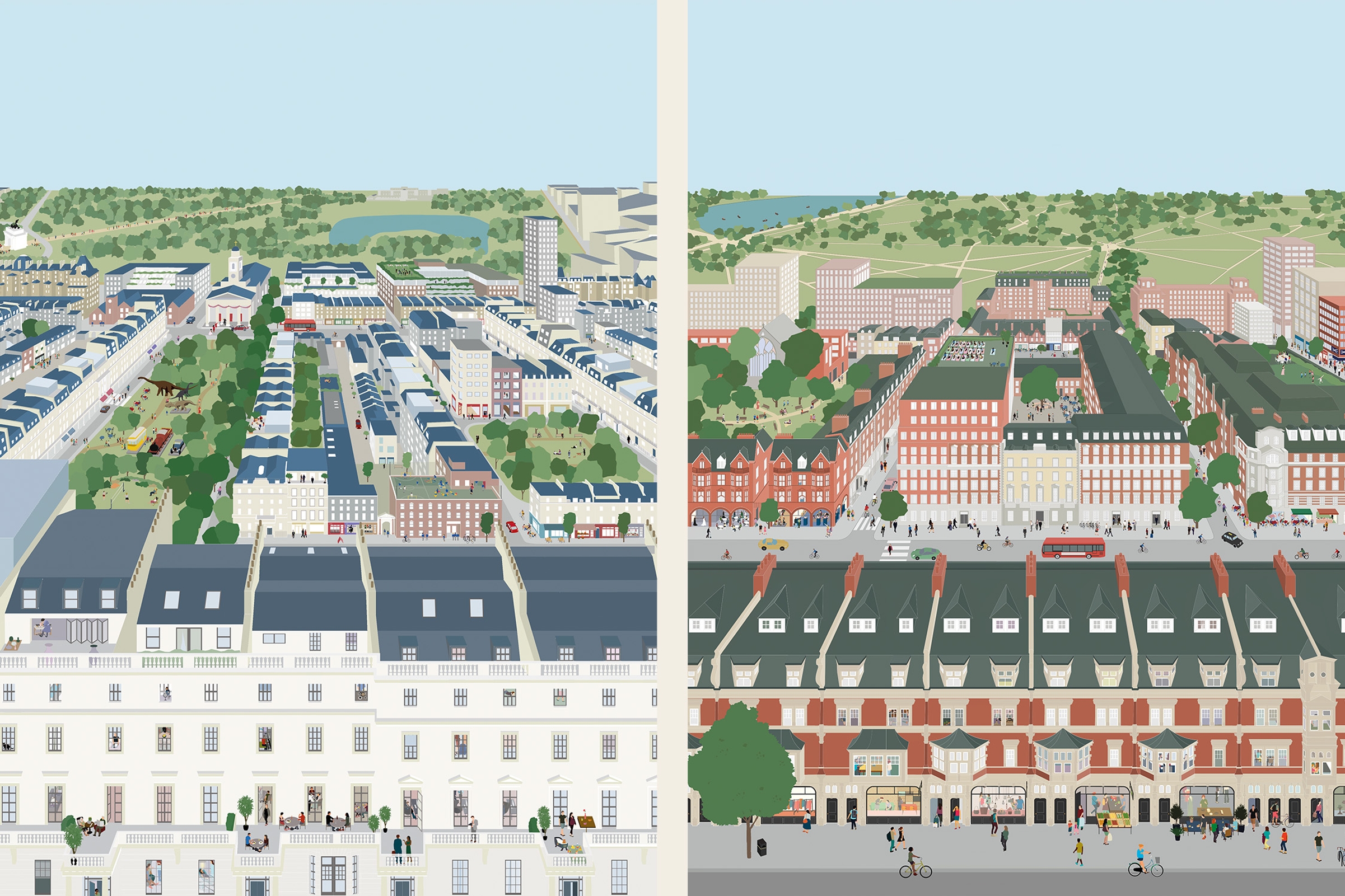
The Northbank is one of London’s most complex and historic districts, stretching from Trafalgar Square to Covent Garden, along the bank of the Thames, and across to Aldwych. Defined by a grand boulevard, expansive riverside walkway and a network of public gardens, the area is home to a remarkable concentration of institutions such as the London School of Economics, King’s College London, the Royal Courts of Justice, Somerset House, the Courtauld Institute of Art and the Savoy Hotel.

Several of these institutions are pursuing plans to expand and evolve – developments that will radically reshape the character and perception of this part of London. At the same time, major infrastructure projects are underway, including proposals for the Garden Bridge, TfL’s east–west Cycle Superhighway and changes to the riverbank as part of Thames Tideway Tunnel works.

Publica was commissioned by the Northbank Business Improvement District (BID) to develop a public realm vision and strategy for the area, building upon the detailed evidence base established in our earlier Northbank Public Realm Survey.

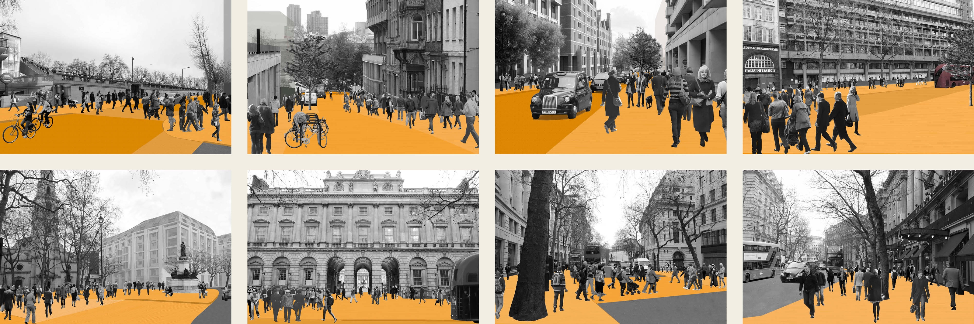
The resulting vision outlines improvements to the public realm designed to unlock the district’s considerable assets: reinvented metropolitan-scale public spaces, a network of accessible streets and spaces, a lively cultural programme encouraging the celebration of public life, a reinvigorated night time economy, a strategic approach to walking and cycling that includes new wayfinding and improved crossings and high quality and consistent materials, revived greenery and improved lighting.

The strategy identifies 40 projects across five geographical areas, presented in a compendium for stakeholders to easily compare the impacts and complexity of each proposal. From this collection of detailed briefs, Publica identified ten priority projects as catalysts to help direct the phasing and procurement of future works in the area, including the removal of the Aldwych traffic gyratory.

Map from 1905, showing the streets demolished for the construction of the Aldwych. 
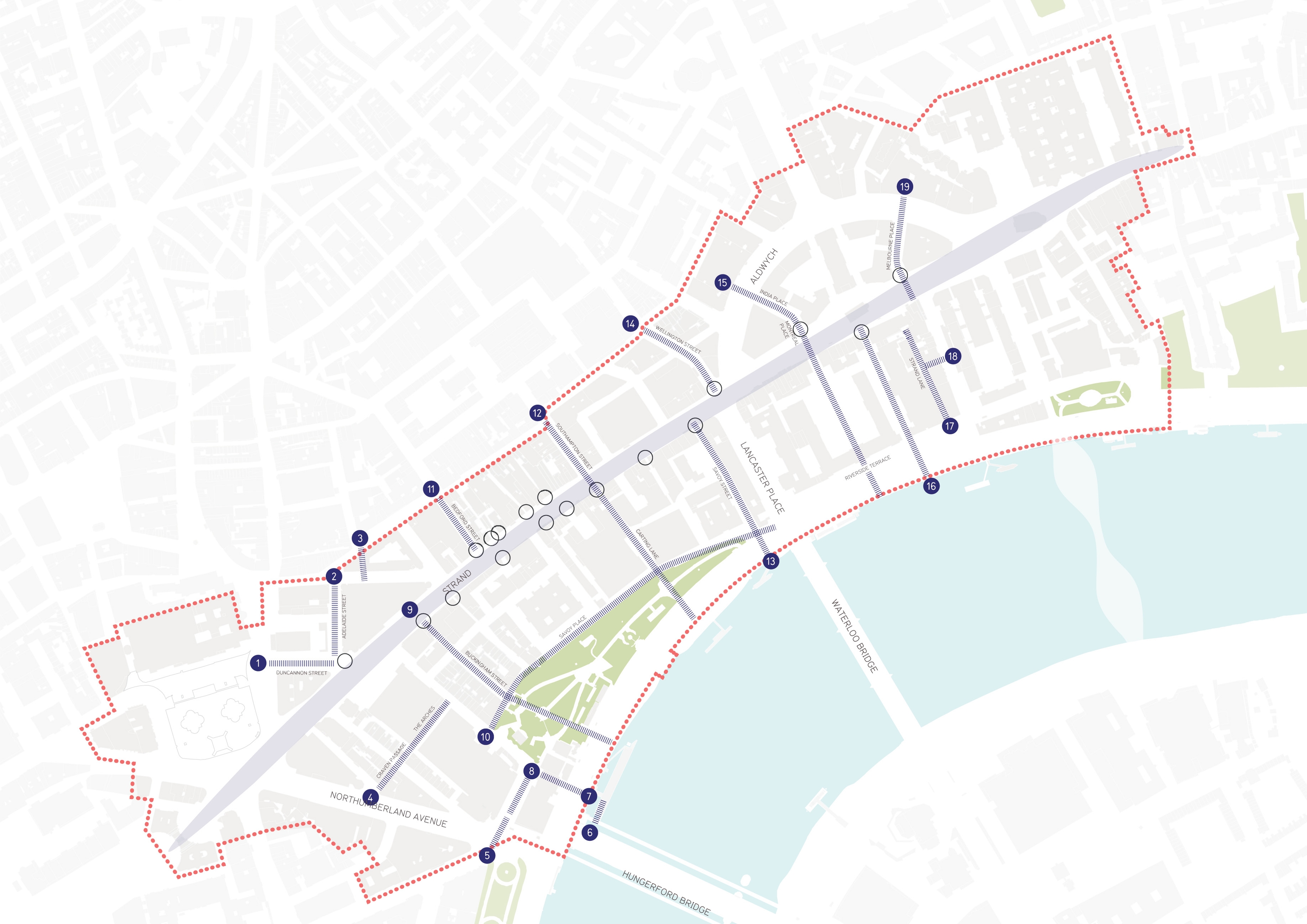
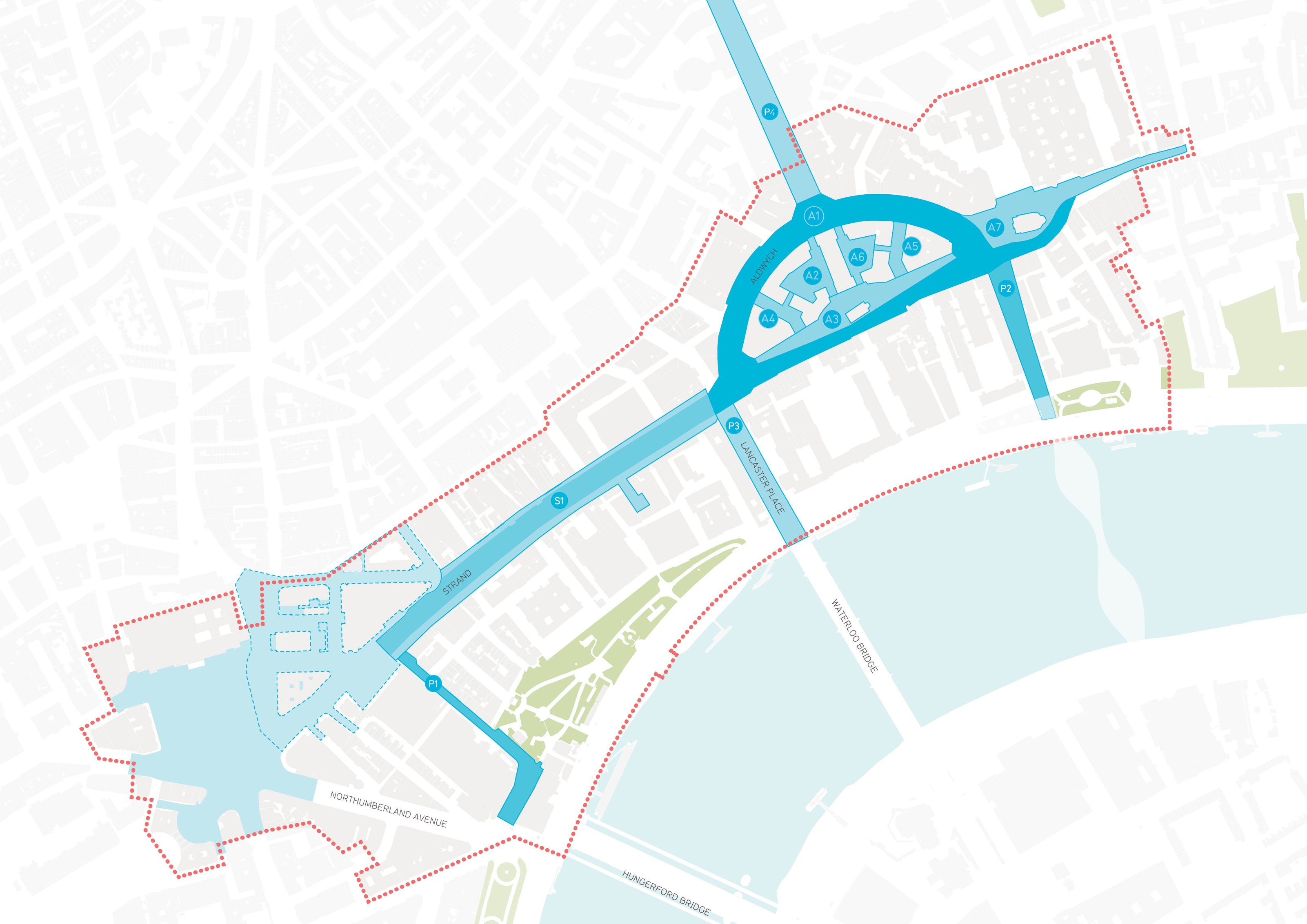
Map diagram of Northbank area showing primary streets and connections.
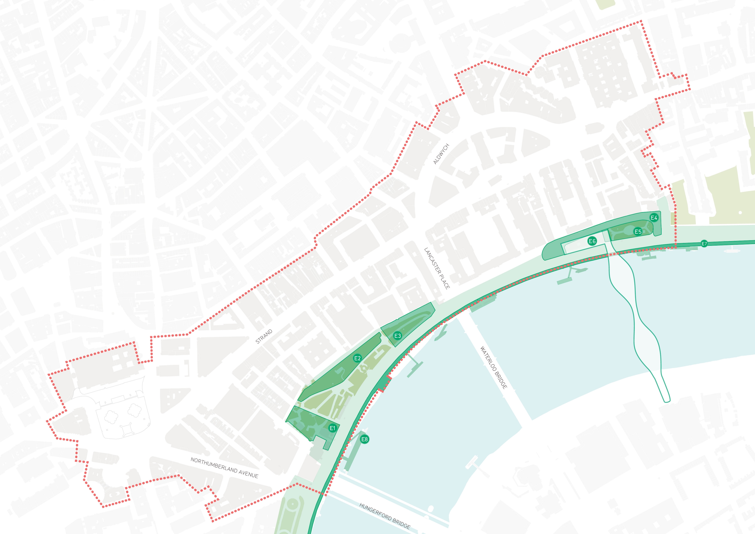
Map diagram of victoria embankment
Map diagram of northbank area showing courtyards and high level space.
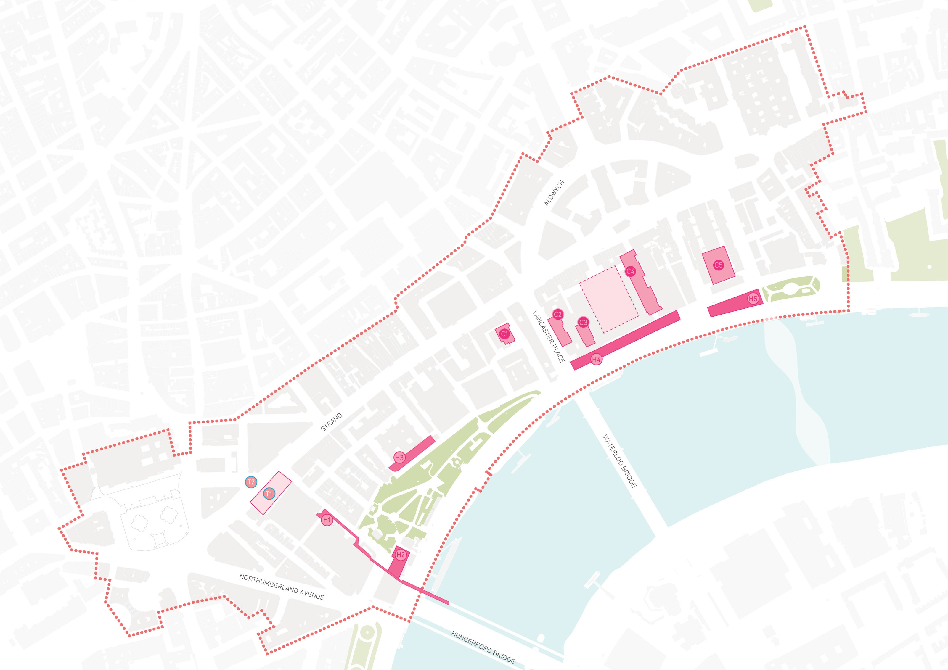
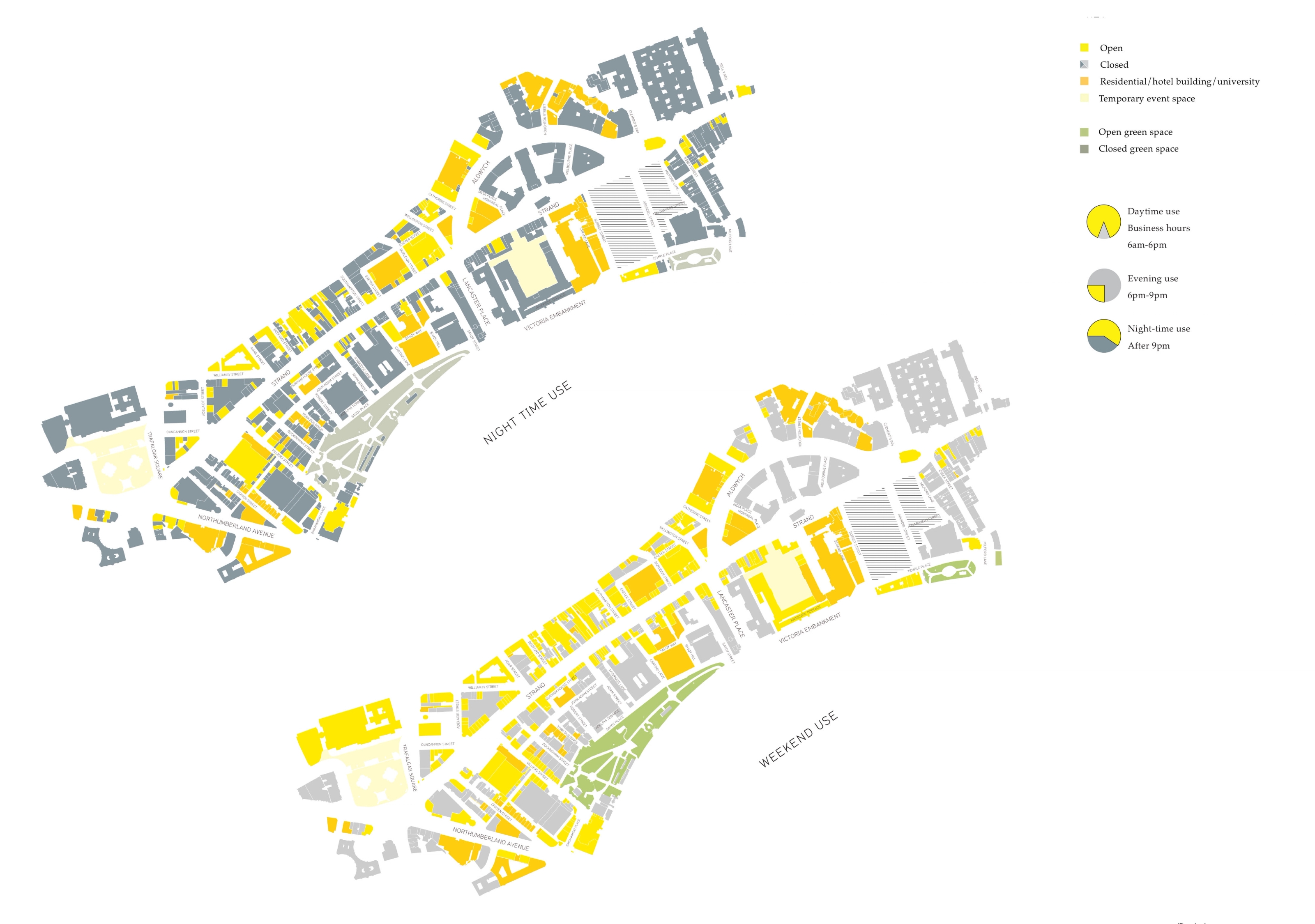
Map diagram of northbank area.

Key Spaces: Issues and Opportunities
Primary Streets and Connections

Removing the Aldwych Traffic Gyratory

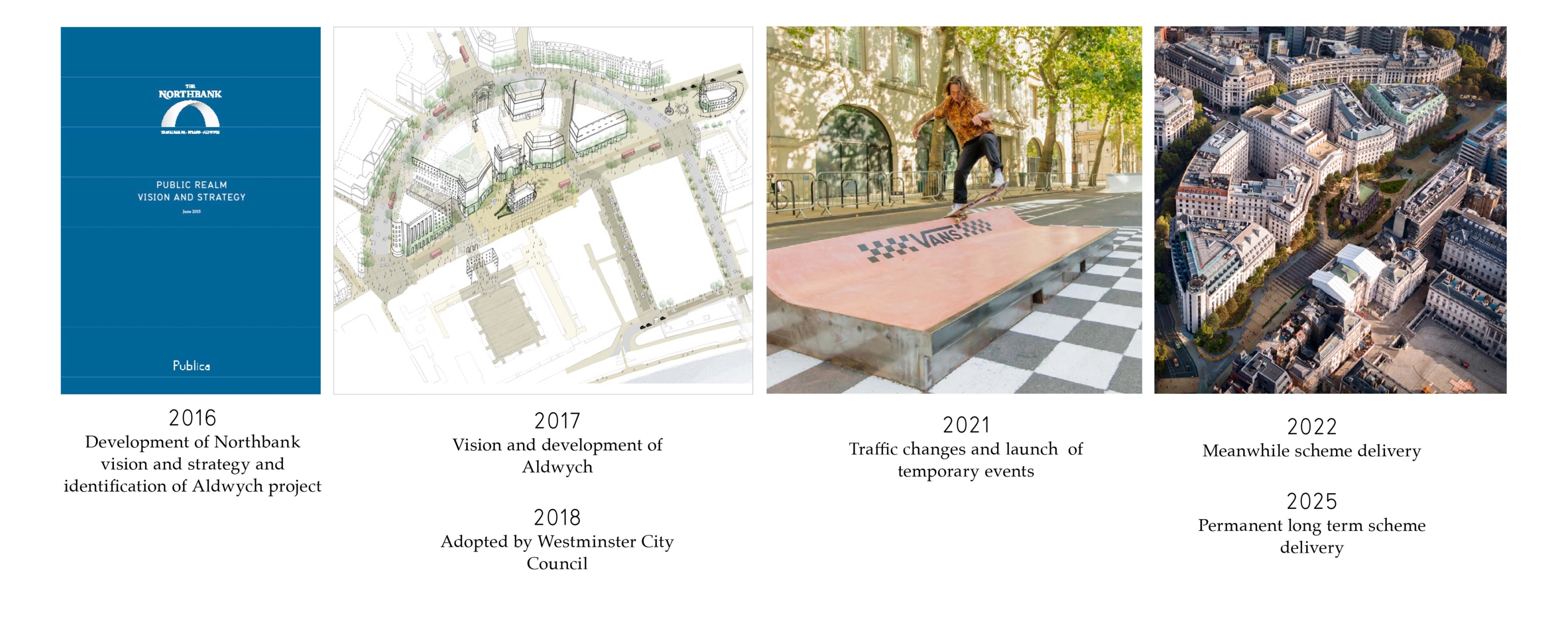
Publica produced a vision and framework to remove the traffic gyratory at Aldwych, a large-scale project identified through the public realm vision and strategy. Our work demonstrated the potential to transform the area by creating a series of significant new public spaces. If realised, these spaces would dramatically improve the setting of the district’s renowned cultural and educational institutions, while establishing stronger pedestrian connections throughout.

We worked closely and iteratively with Norman Rourke Pryme to test a range of traffic management options. The Strand Aldwych gyratory removal and its accompanying public realm scheme were subsequently adopted as a priority project by Northbank BID and championed by London First. In Autumn 2017, Westminster City Council initiated the next stage of the project, appointing a consultant team to further develop the design in line with the established vision.

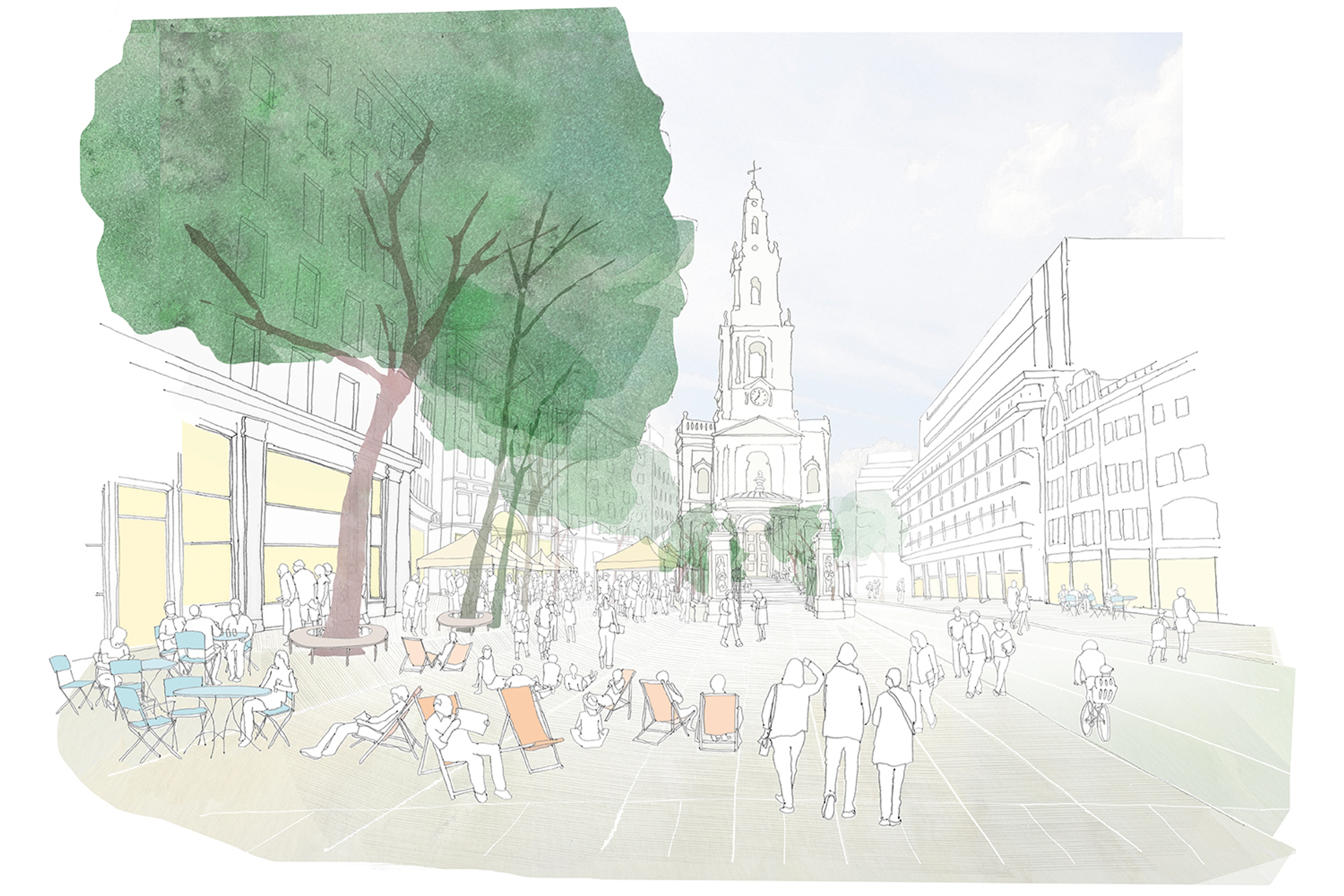
A view of the proposed new pedestrianised public space on the Strand looking east towards St Mary le Strand church with people sitting on deckchairs and at tables in the foreground.
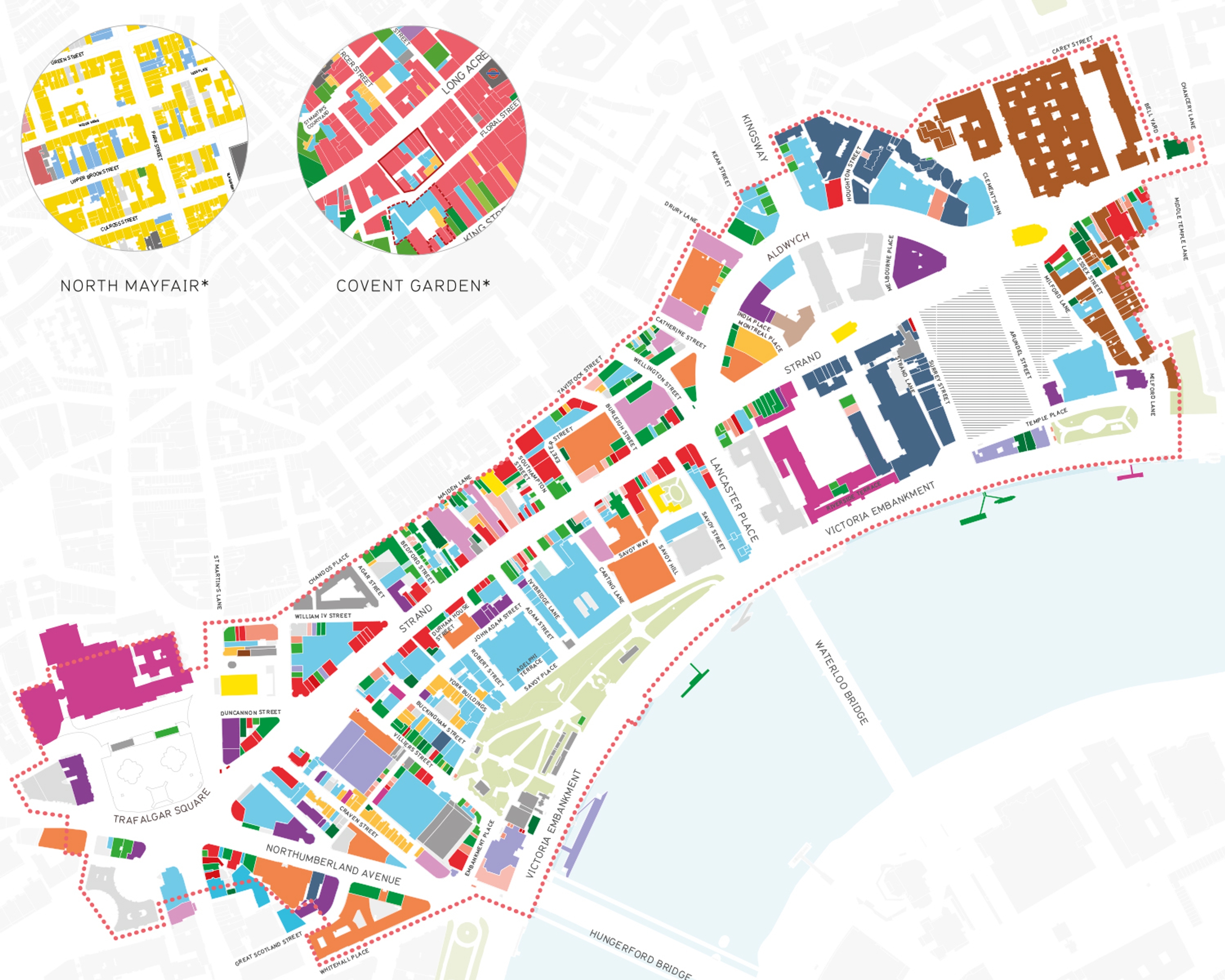
A plan view map of colour-coded ground floor land uses.

Establishing the vision

A Public Realm Strategy for Stand West

In 2019, Publica devised the Strand West Public Realm Strategy for the Northbank BID. The strategy responds to environmental and development changes that have progressed since 2015, alongside innovative strategies introduced by the GLA, and local authorities that promote flexible, future-proof public spaces.

The strategy presents eight strategic principles to guide public realm planning and delivery across Strand West, aligning with – and seeking to exceed – targets set by Westminster City Council and the Mayor of London regarding the future of streets and spaces. It advances sustainability, active travel, accessibility, safety, and economic vitality, and sets out briefs for 30 key streets or spaces.

Image credit: LDA Design / Westminster City Council

Photograph showing the pedestrianised public space at Strand Aldwych, featuring newly paved walking areas, modern wooden benches, orange metal planters, and blooming white trees in front of historic buildings.
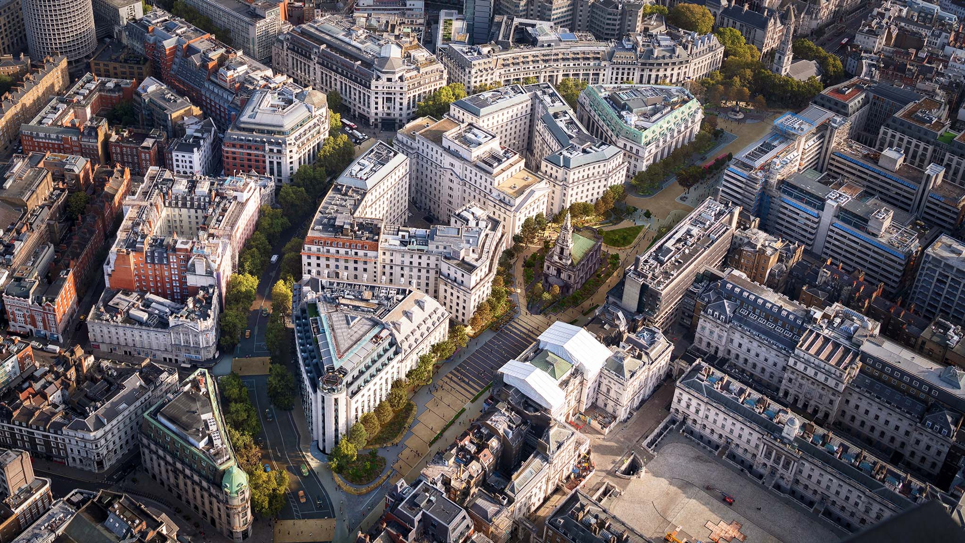
Ariel view photograph of Strand Aldwych

LDA Design / Westminster City Council