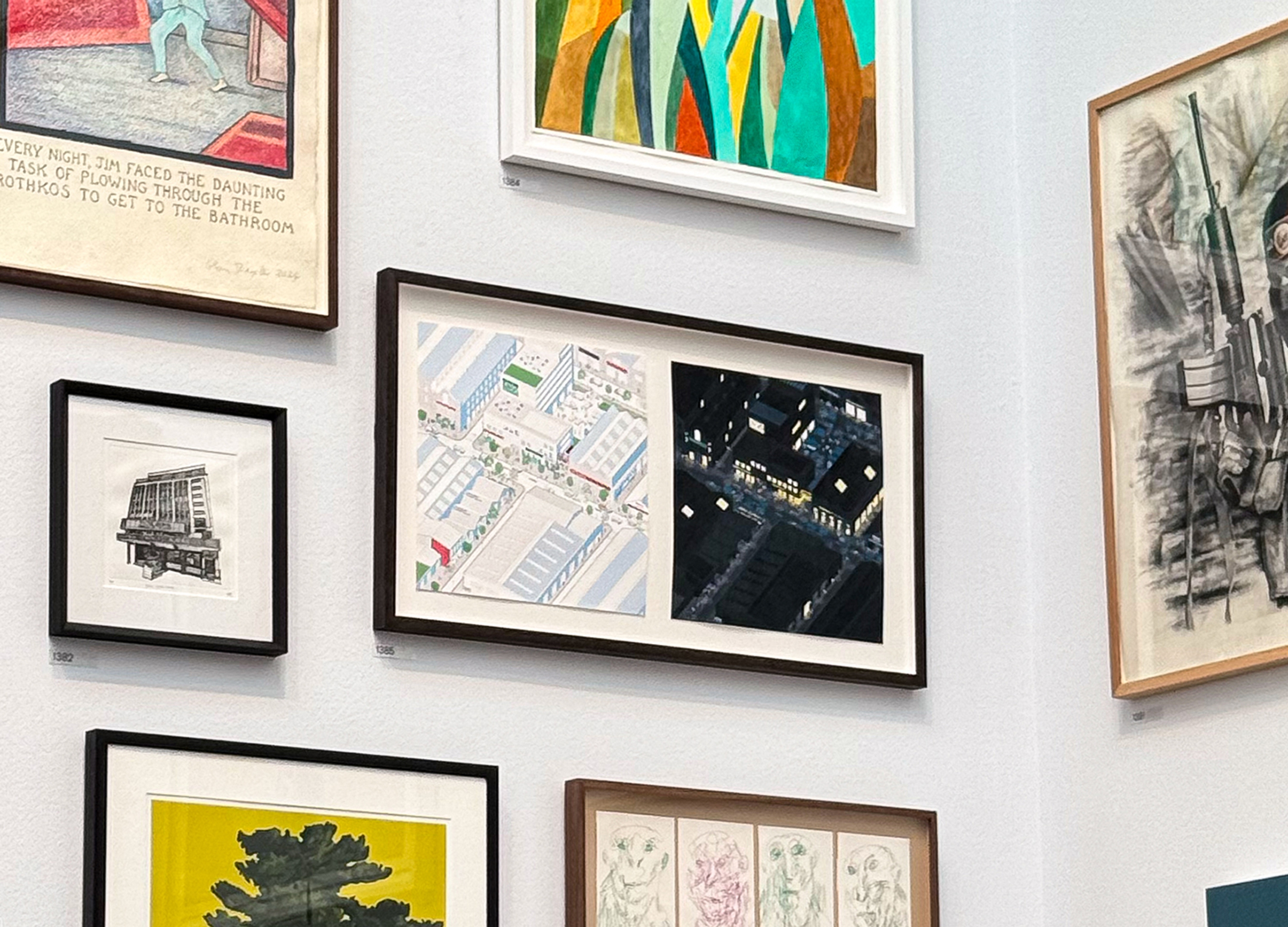
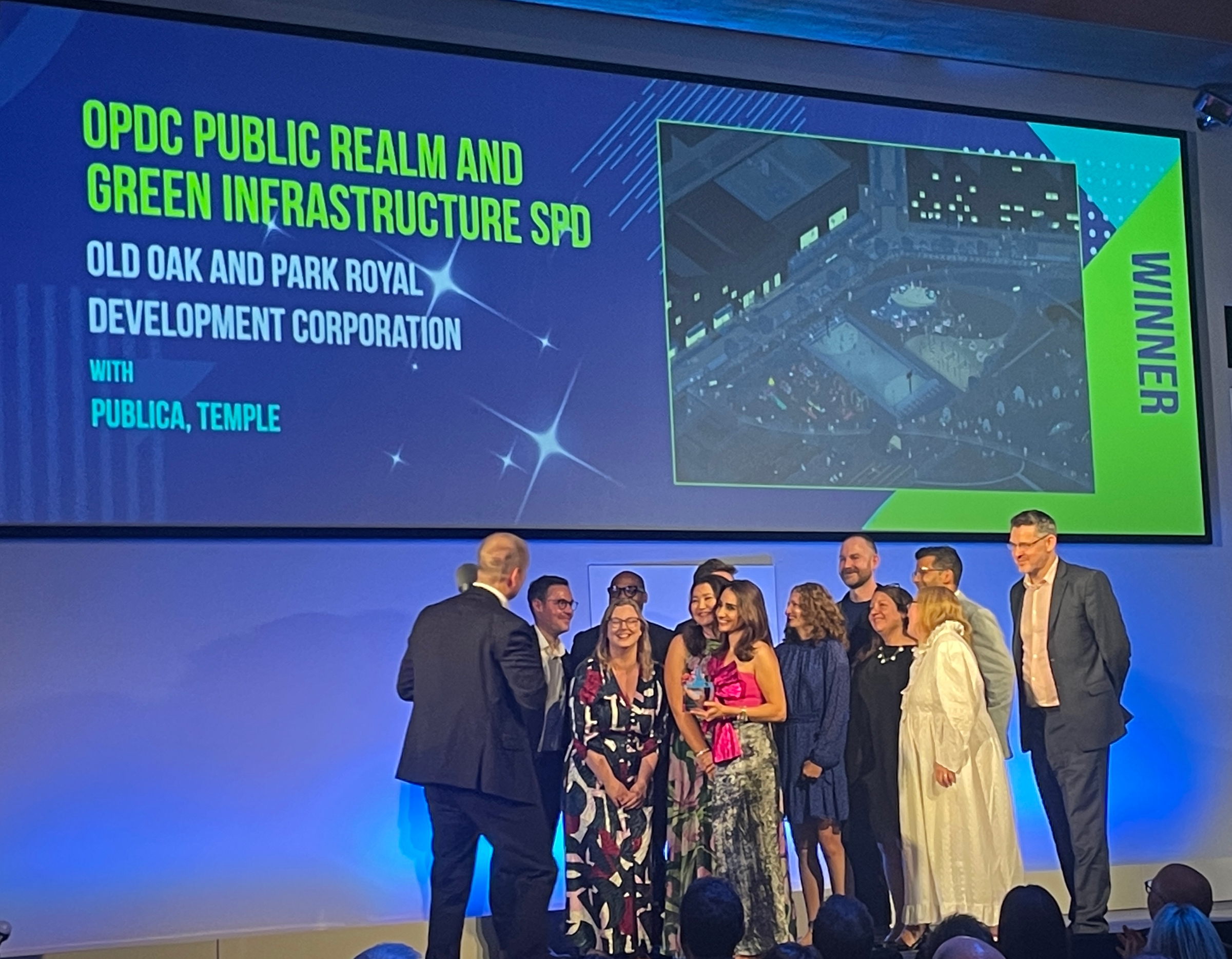
OPDC Planning Guidance Visualisations

Illustrating policy and detailed design guidance for OPDC’s mixed-use neighbourhoods

Publica was appointed by Old Oak and Park Royal Development Corporation (OPDC) to produce a suite of visualisations to help develop, test and communicate emerging innovative planning guidance.

The 34 illustrations created support two new Supplementary Planning Documents (SPD) written by OPDC: Industrial Sites, and Public Realm and Green Infrastructure. The visualisations help articulate OPDC’s ambitious approach to industrial development best practice to a wide audience and aims to build support and consensus for strategies.
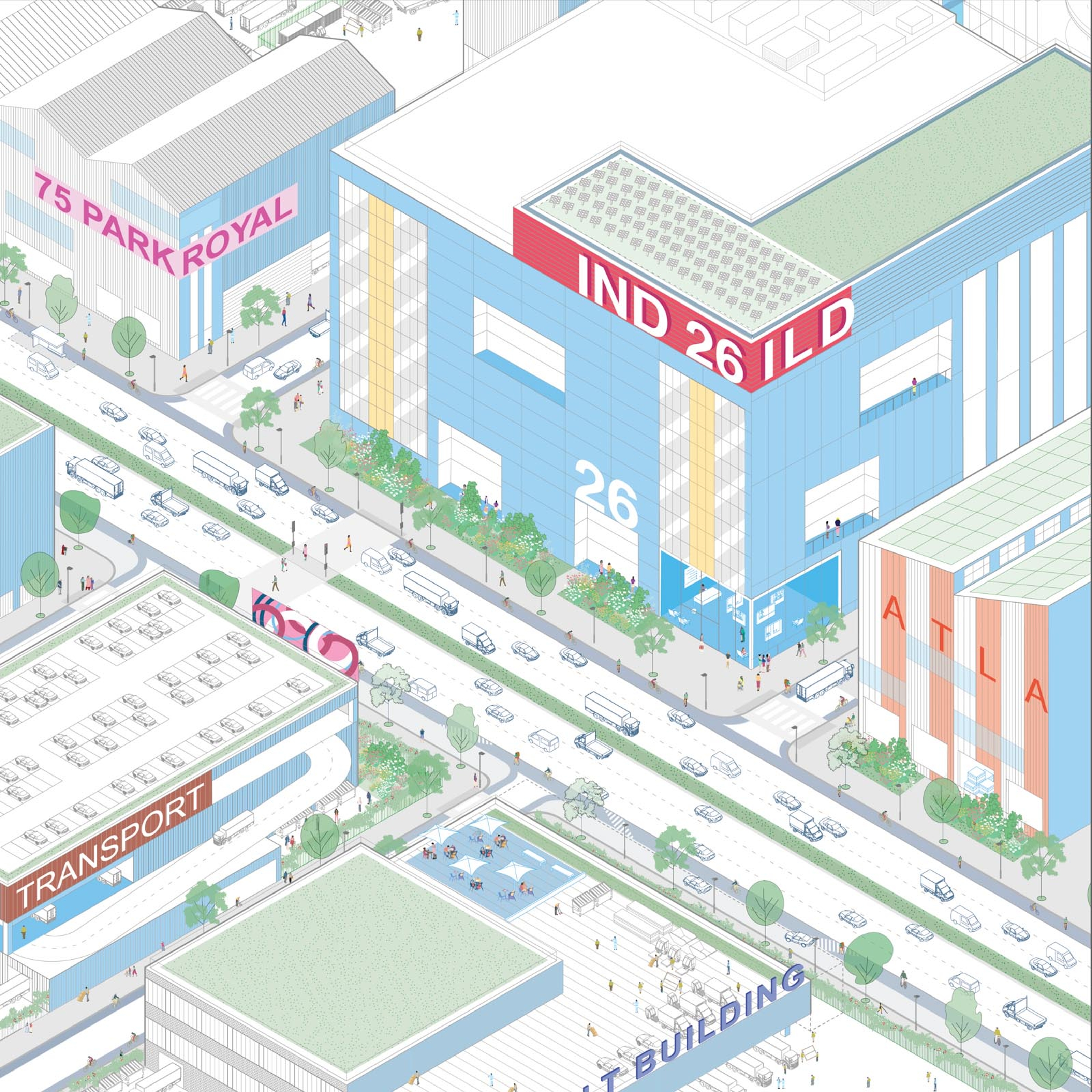
An axonometric illustration of large multi-storey light industrial buildings with a primary road.
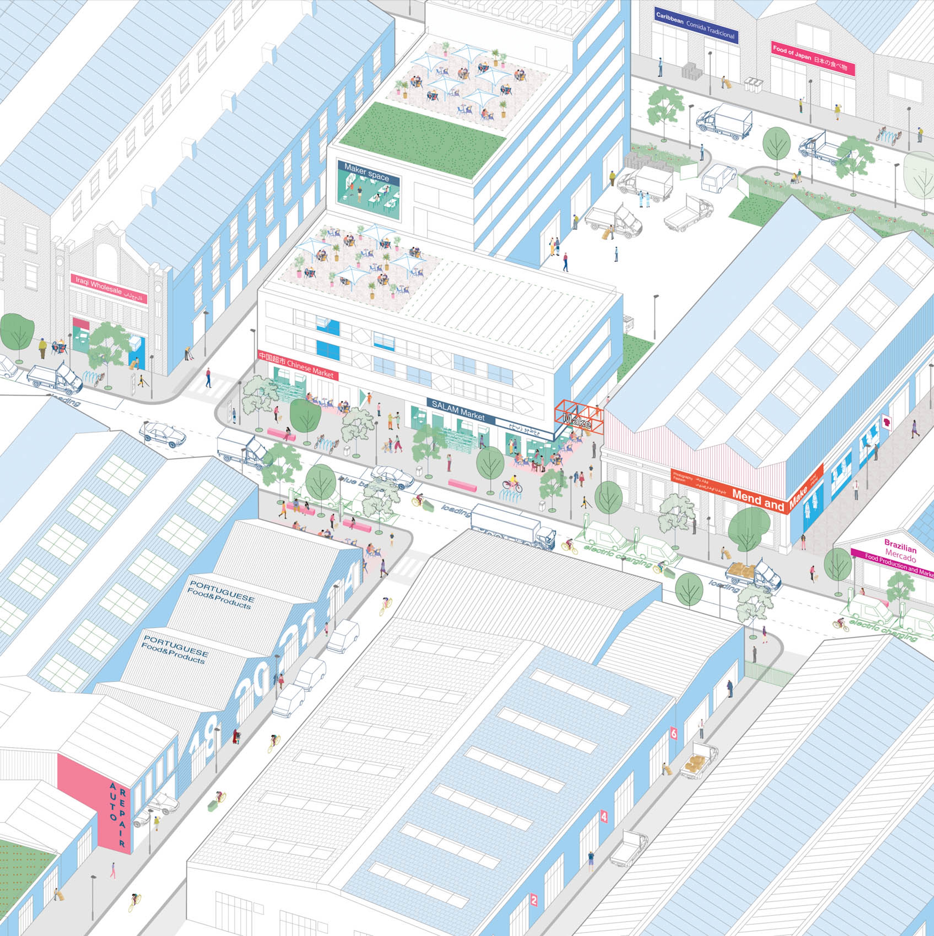
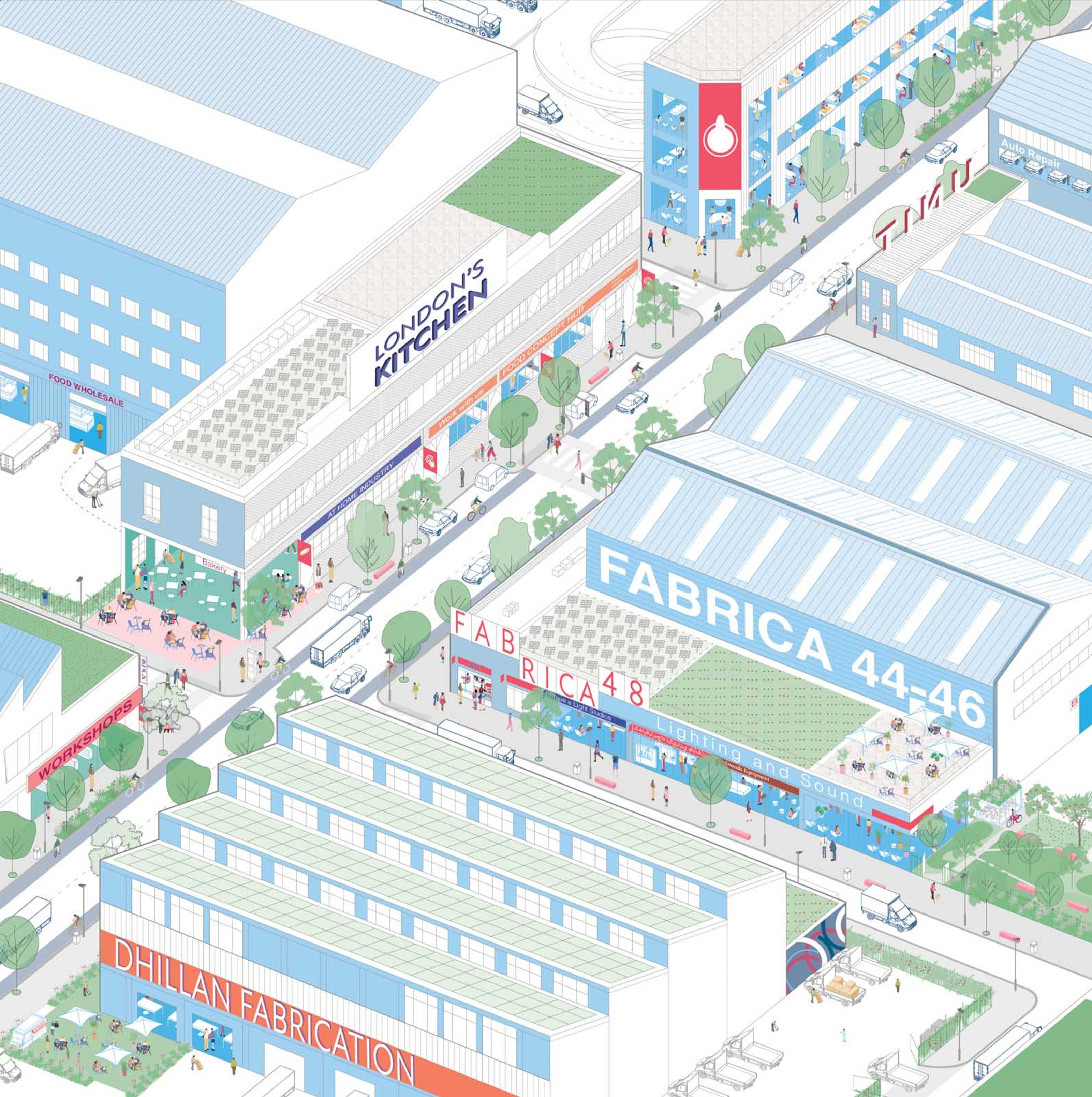
An axonometric illusration of a mix of industrial buildings.
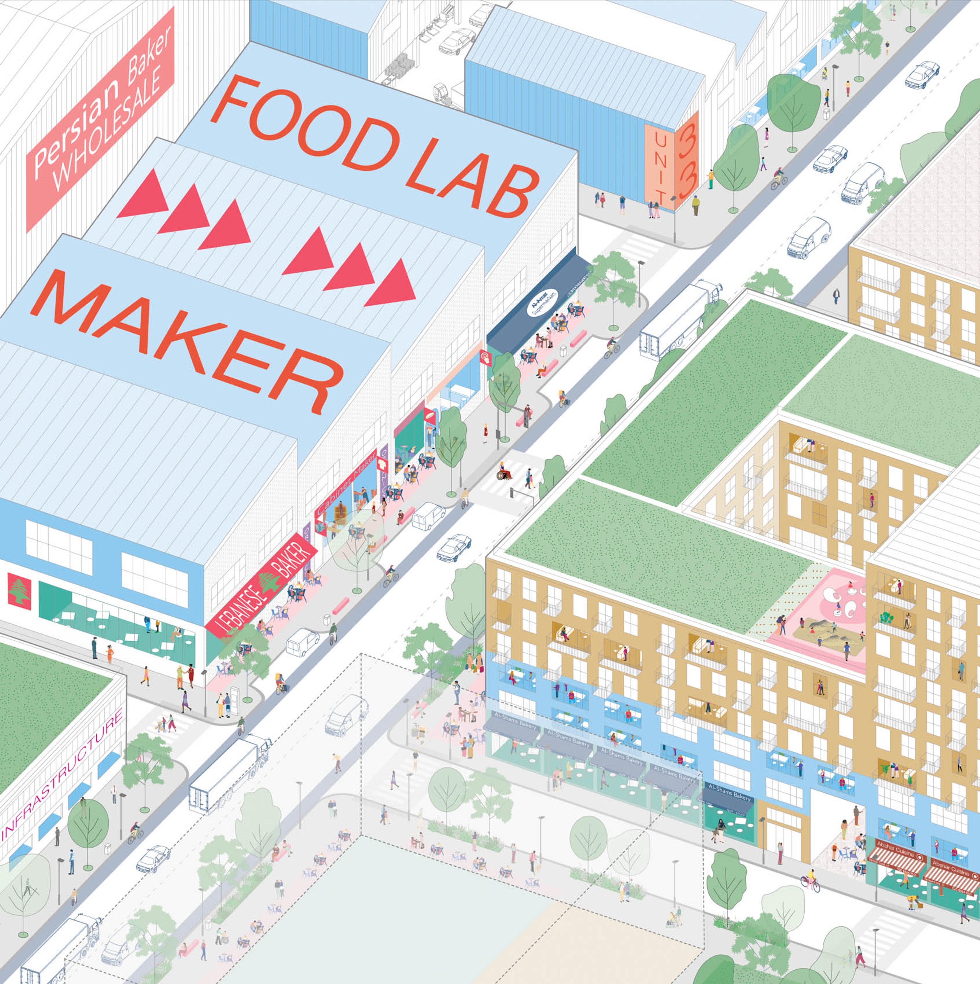
An axonometric illustration of a mixed industrial and residential neighbourhood with residential blocks set above commercial ground floor units.
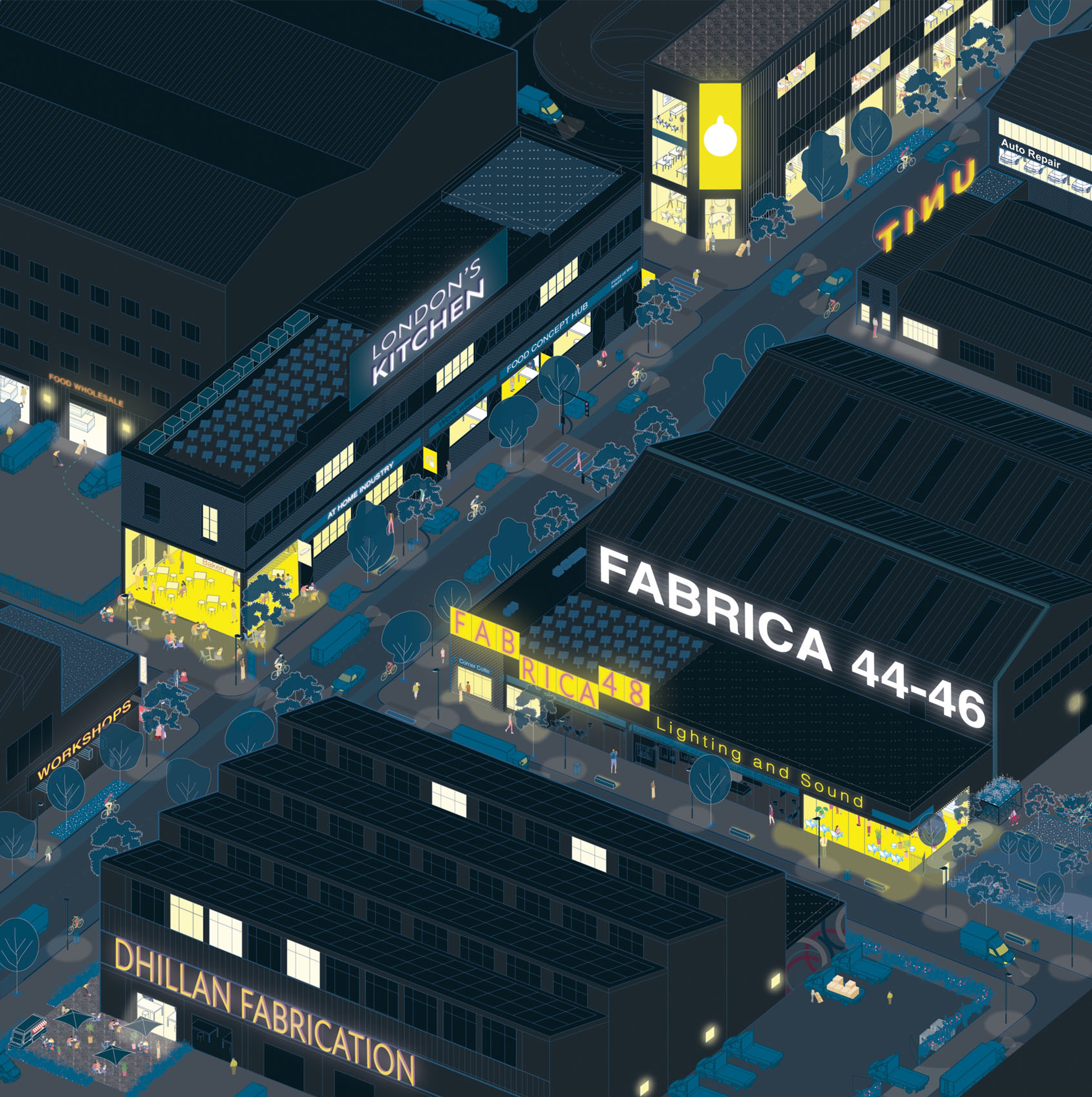
An axonometric illustration of a mixed industrial neighbourhood at night with building frontages and corners illuminated.
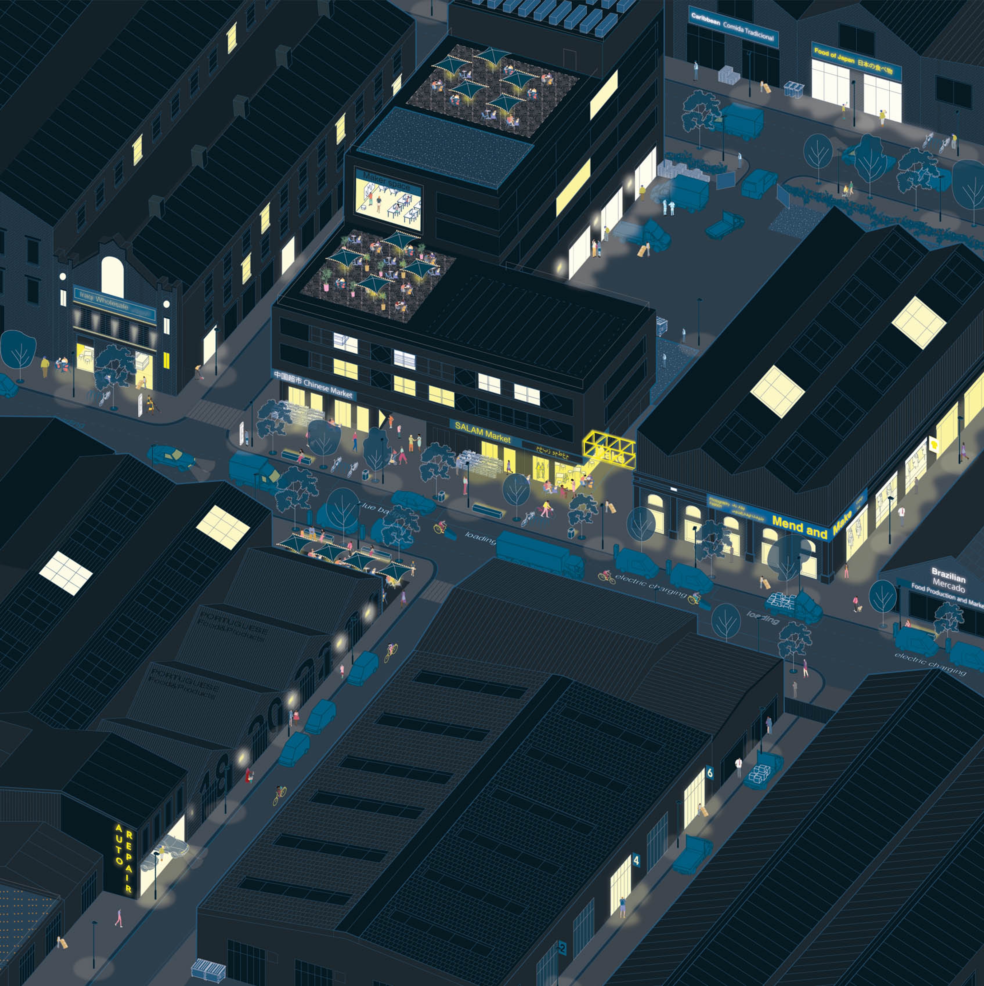
An axonometric illustration of a light industrial neighbourhood at night with some light and activity from commercial ground floor units.
An axonometric illusration of a mix of industrial buildings.
An axonometric illustration of a mixed industrial and residential neighbourhood.
An axonometric illustration of industrial units set along a canal.
 

Designed to give clarity to designers and developers, the illustrations are technical, animated and characterful, depicting both day and night activity. For the Industrial Sites SPD, the illustrations convey visions for mixed-use neighbourhoods enriched with new civic infrastructure that introduces amenity spaces, supports social interaction and improves ease of movement. Visuals for the Public Realm and Green Infrastructure SPD translate specific design guidance at building scale - green streets, pedestrian-friendly approaches and open spaces that offer high-quality, safe, biodiverse, and equitable environments for residents and visitors.

Inclusion, social value and equality guided our process. Developing an understanding of the area and its communities formed a crucial part of the research phase towards a style and direction for the drawings. The final suite of visualisations is the result of a truly collaborative and iterative process with the planning team at OPDC.

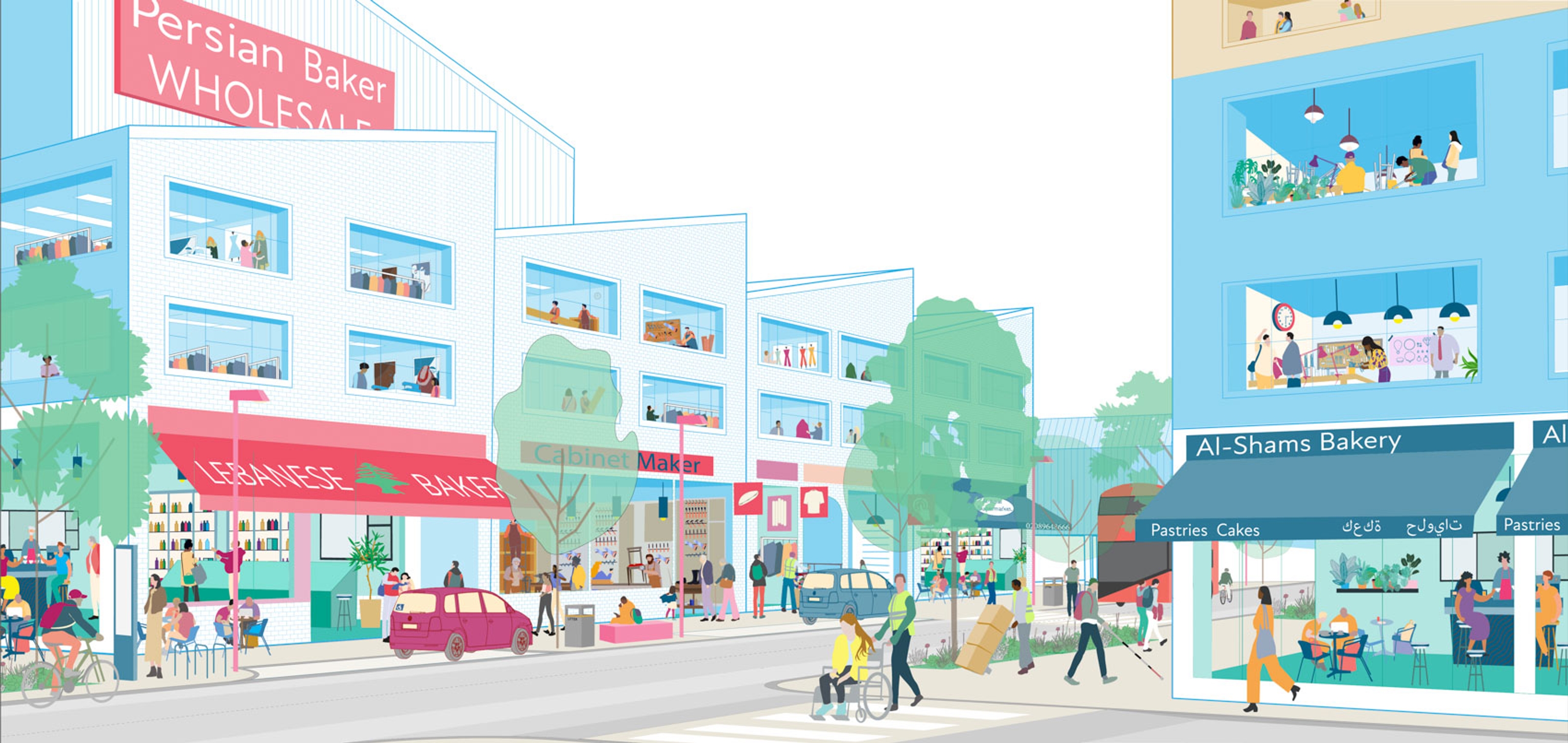
An illustrated view of a street corner with active ground floor uses including bakeries.
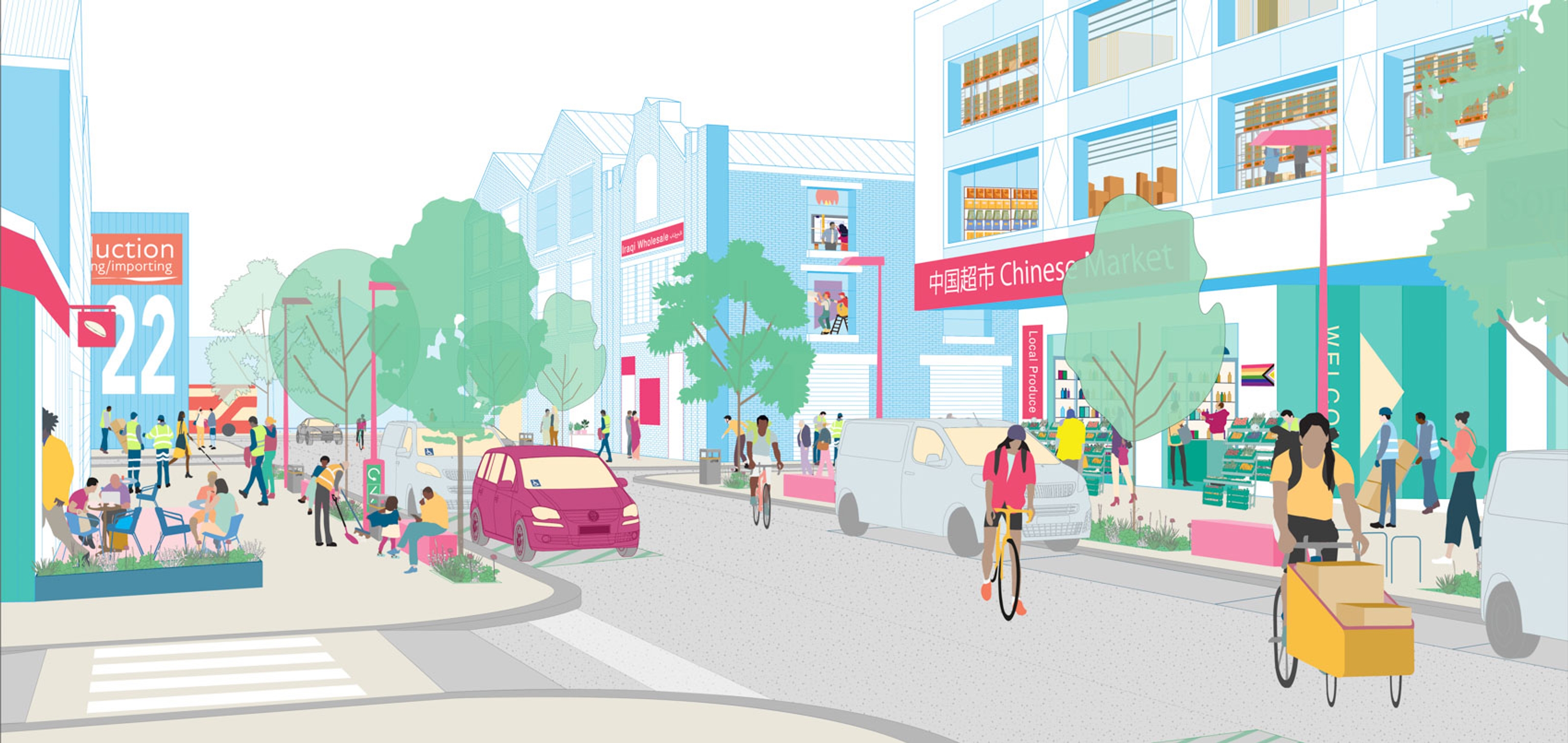
An illustrated view of a street with active ground floor uses, cyclists, parked cars and people walking and sitting.
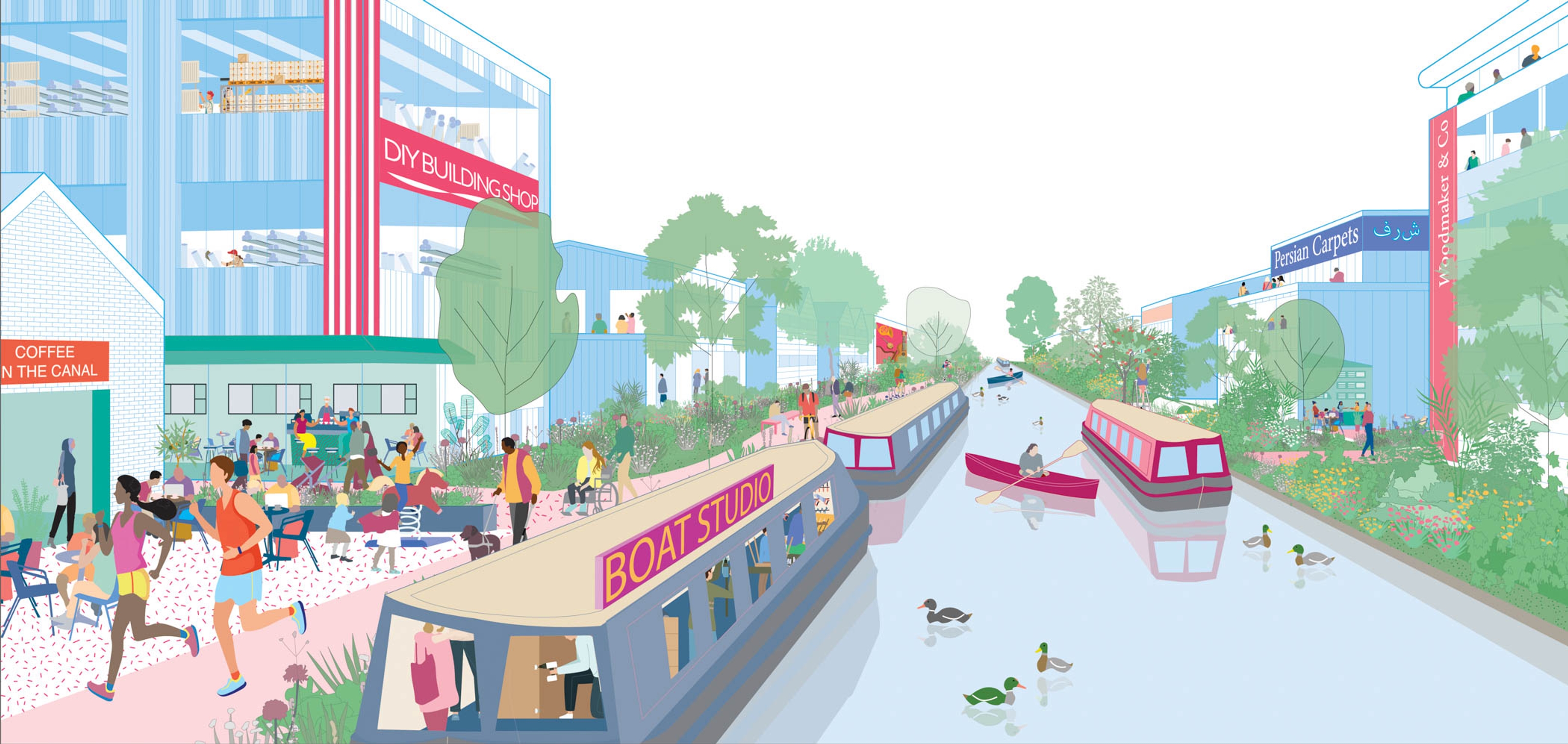
An illustrated view of a canal with narrowboats and pedestrians and runners using the towpath.
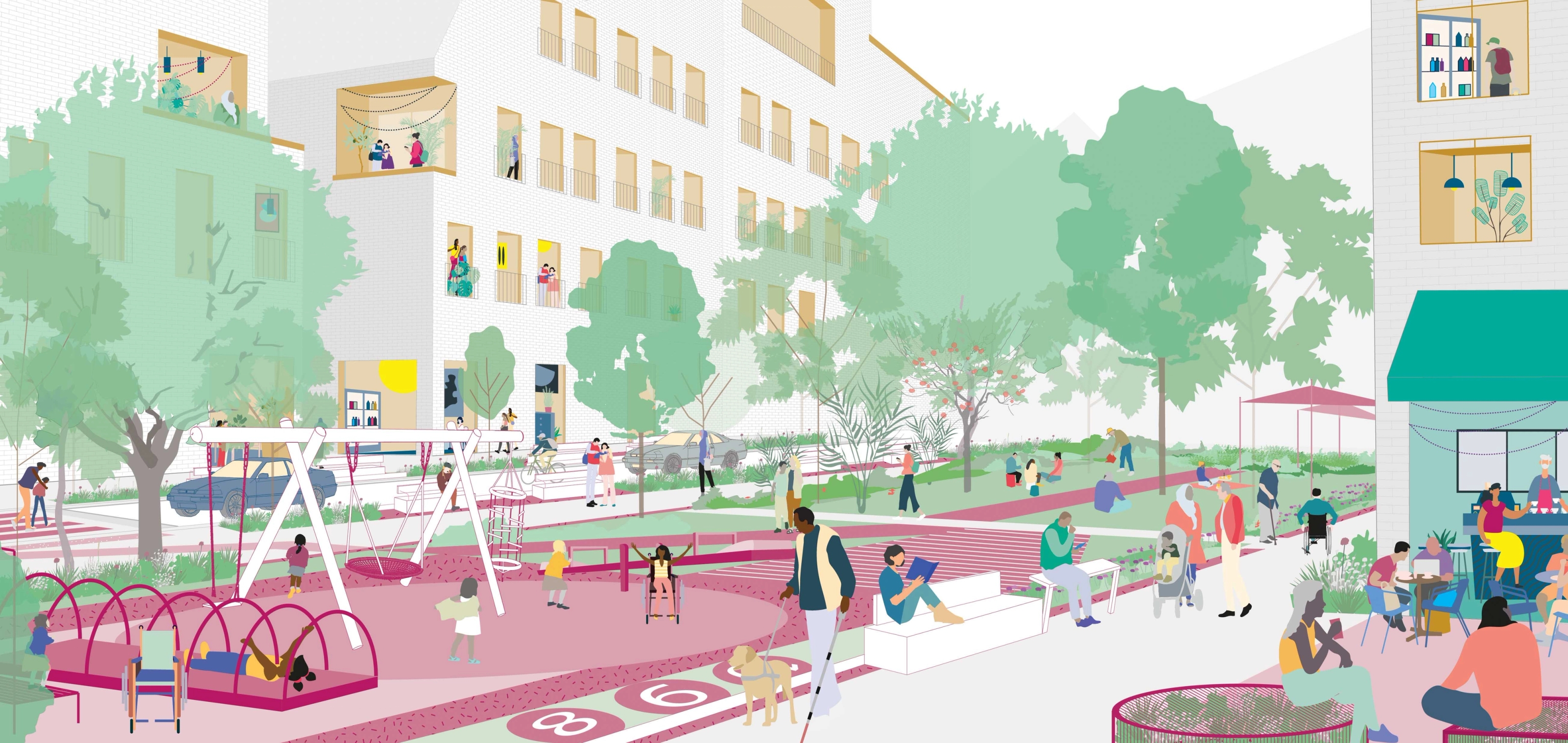
An illustrated view of a play space with children playing and people sitting.
An illustrated view of a green space with play equipment and people sitting.

——